This is Mark Staples with the avalanche forecast for Wednesday, February 12th, at 7:00 a.m. sponsored by Polaris and the Cooke City Super 8/Bearclaw Bob’s. This forecast does not apply to operating ski areas.
COLD! Temperatures are -15° F to -23° F which is colder than yesterday morning. Fortunately light winds are only blowing about 5 mph from the north.
Clear skies and sunshine will help temperatures climb to near zero F. Bone chilling winds will increase today with some gusts approaching 20 mph. Some downhill winds blew yesterday in the Bridgers and could blow again today and move some snow.
Warmer air moves into the area tomorrow morning as a deep trough of low pressure nears the California coast bringing winds from the SW. Starting Thursday night snow is in the forecast everyday for the next week. After that trough moves over the western U.S., we will be under a wet, westerly flow with no major storms but steady snowfall.

All Regions
Cold is probably the biggest threat today making any injury life-threatening if you can’t get back to the trailhead quickly. Be careful.
In terms of avalanches, it’s not too dangerous but there are a few things to look out for in specific places:
Wind slab avalanches: When are these not a concern? Downhill winds in the Bridgers yesterday and possibly today may have moved some snow and formed fresh wind slabs that will be the most sensitive. In all other areas, it’s been about 48 hours since winds were moving snow and wind slabs are less likely to be triggered.
Persistent slab avalanches: These types of slides have become almost unlikely. The snow surface weakened in late January and was buried about 12 days ago with about 1-3 feet of snow on top now. Places to especially look for and assess this layer are the southern Madison Range, southern Gallatin Range, and the Lionhead area. Also, look for this layer OR any weak facets in out-of-the way places that don’t have enough snow to ride in most winters but do have enough now. Read Dave’s ob on this topic and this example from the northern Gallatin Range at 6400’ in elevation.
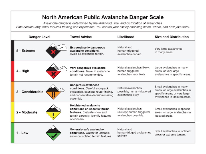
Today the avalanche danger is MODERATE.
Upcoming Avalanche Education and Events
Our education calendar is full of awareness lectures and field courses. Check it out: Events and Education Calendar
February 20, 4-7 p.m. Beacon BBQ at Uphill Pursuits in Bozeman. Come try out different brands of avalanche transceivers (or practice with your own!) with coaching from Friends of GNFAC instructors and free hotdogs.
February 28 - March 2, Bozeman Splitfest 2025 - Celebrate all things Bozeman backcountry and raise funds for GNFAC. Enjoy demos, clinics, free food and beer from MAP. Connect with fellow outdoor enthusiasts and soak up the winter stoke.
Every weekend in Cooke City: Friday at The Antlers at 7 p.m., Free Avalanche Awareness and Current Conditions talk, and Saturday from 10 a.m.-2 p.m. at Round Lake Warming Hut, Free Rescue Practice.