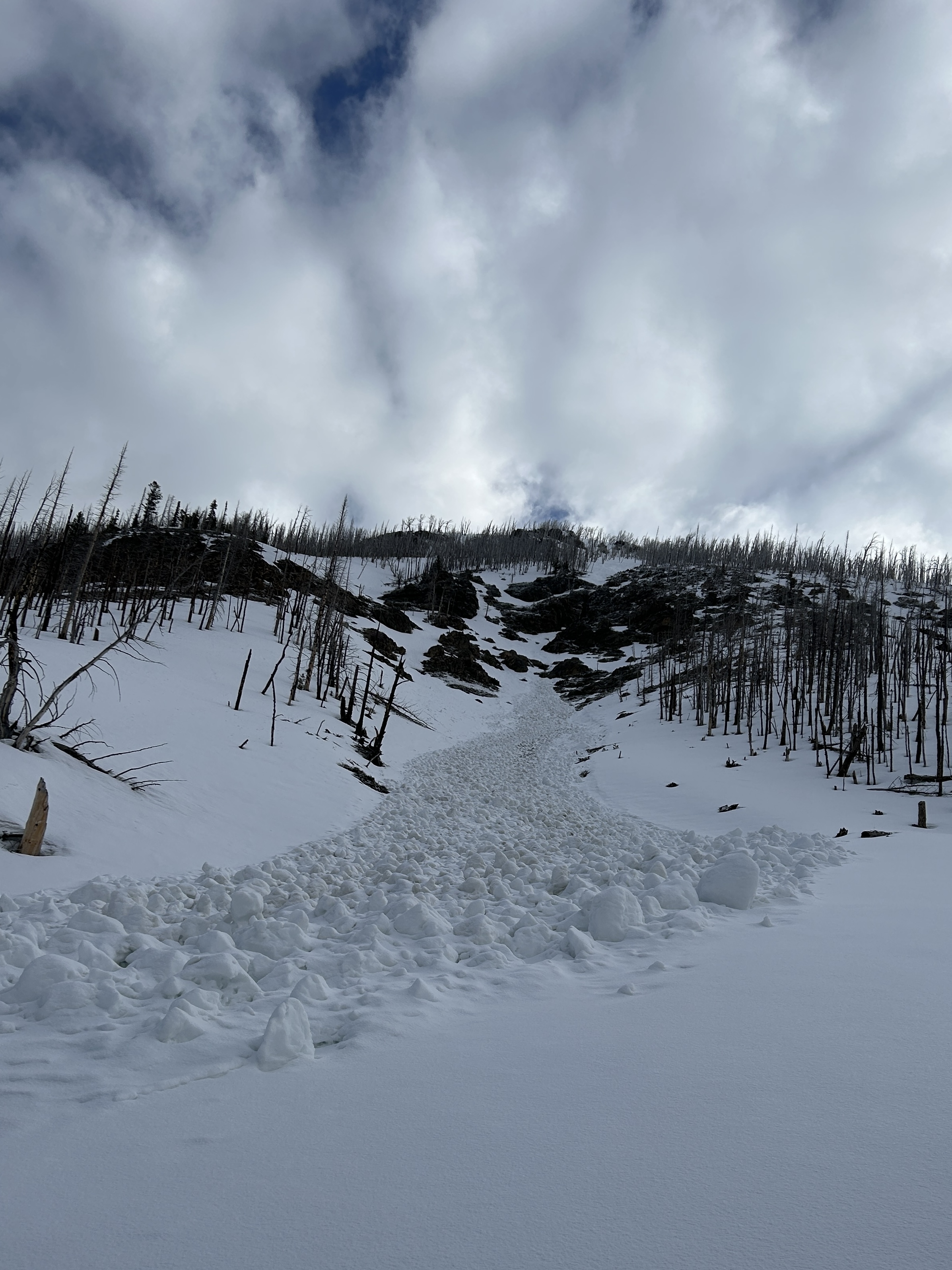
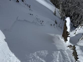
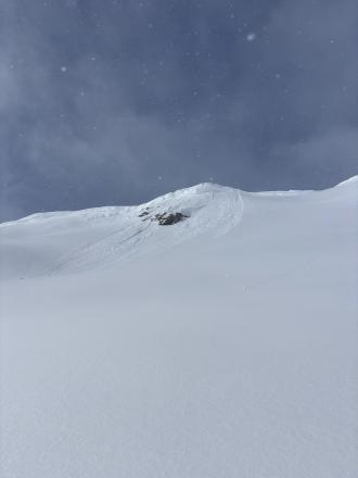
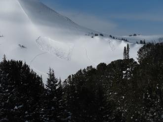
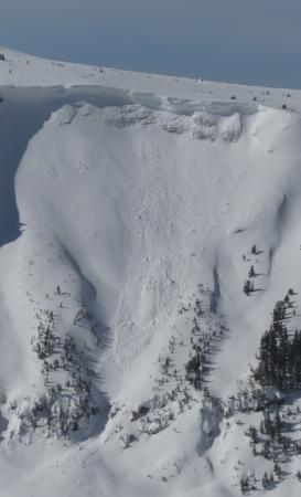
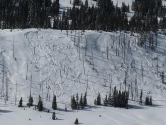
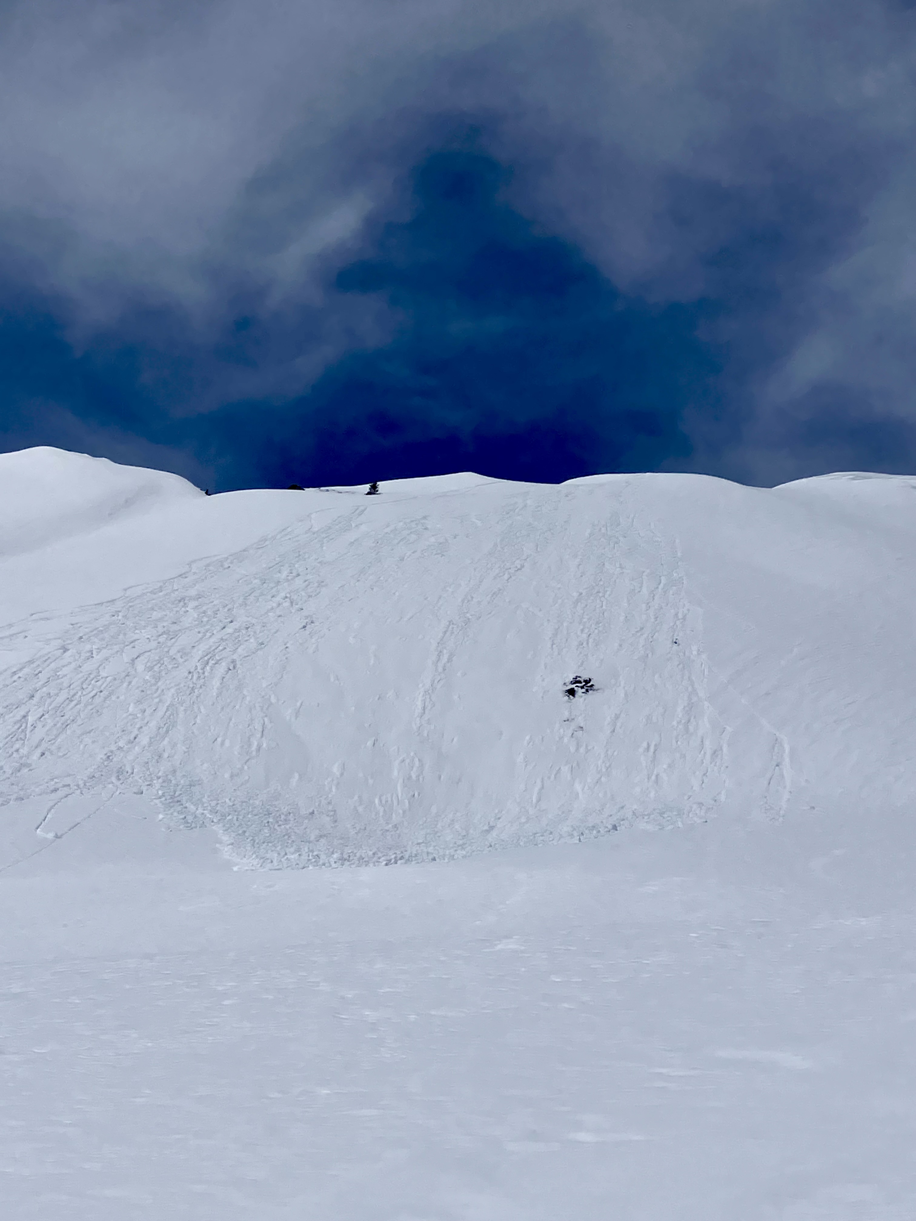
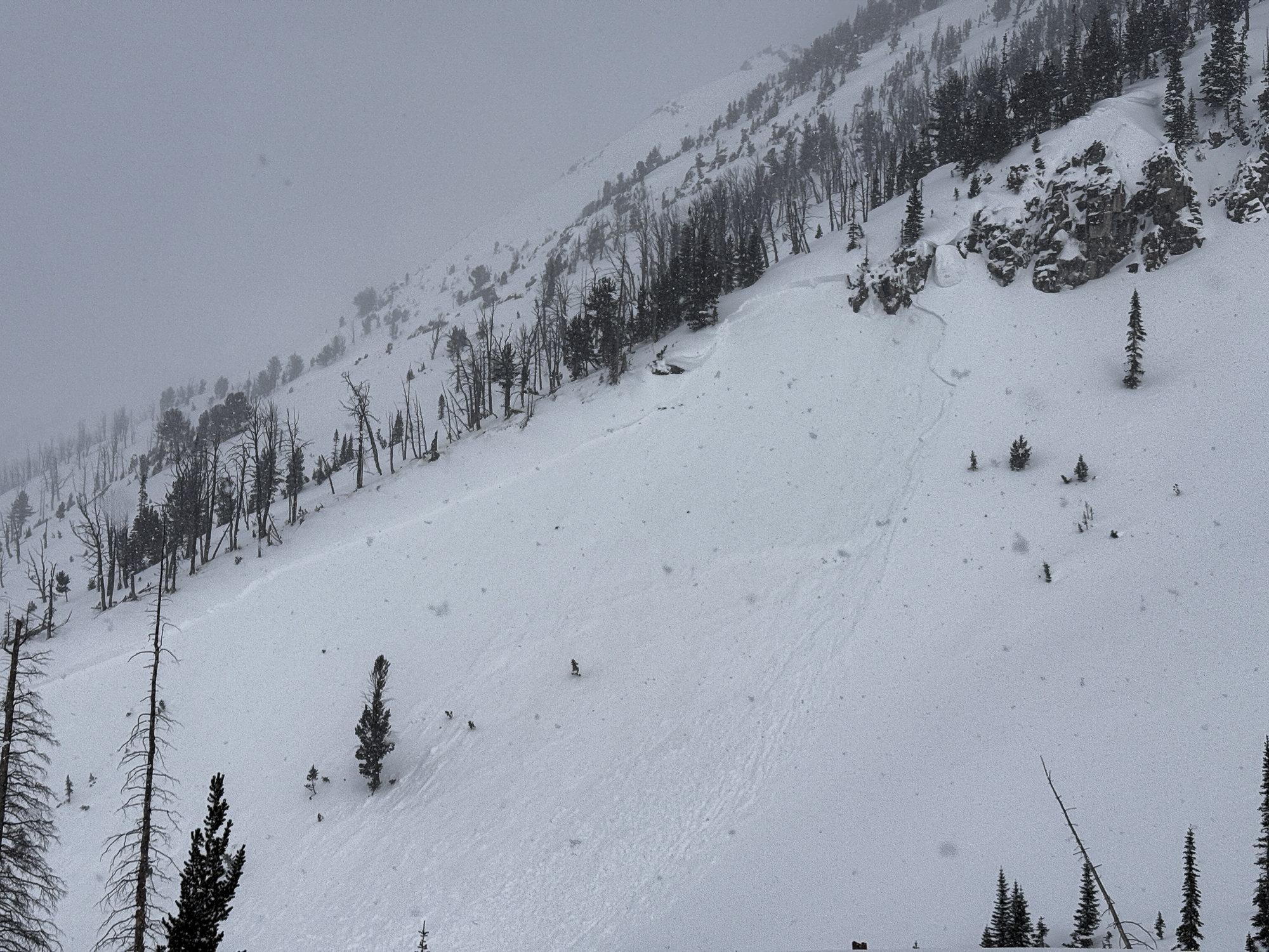
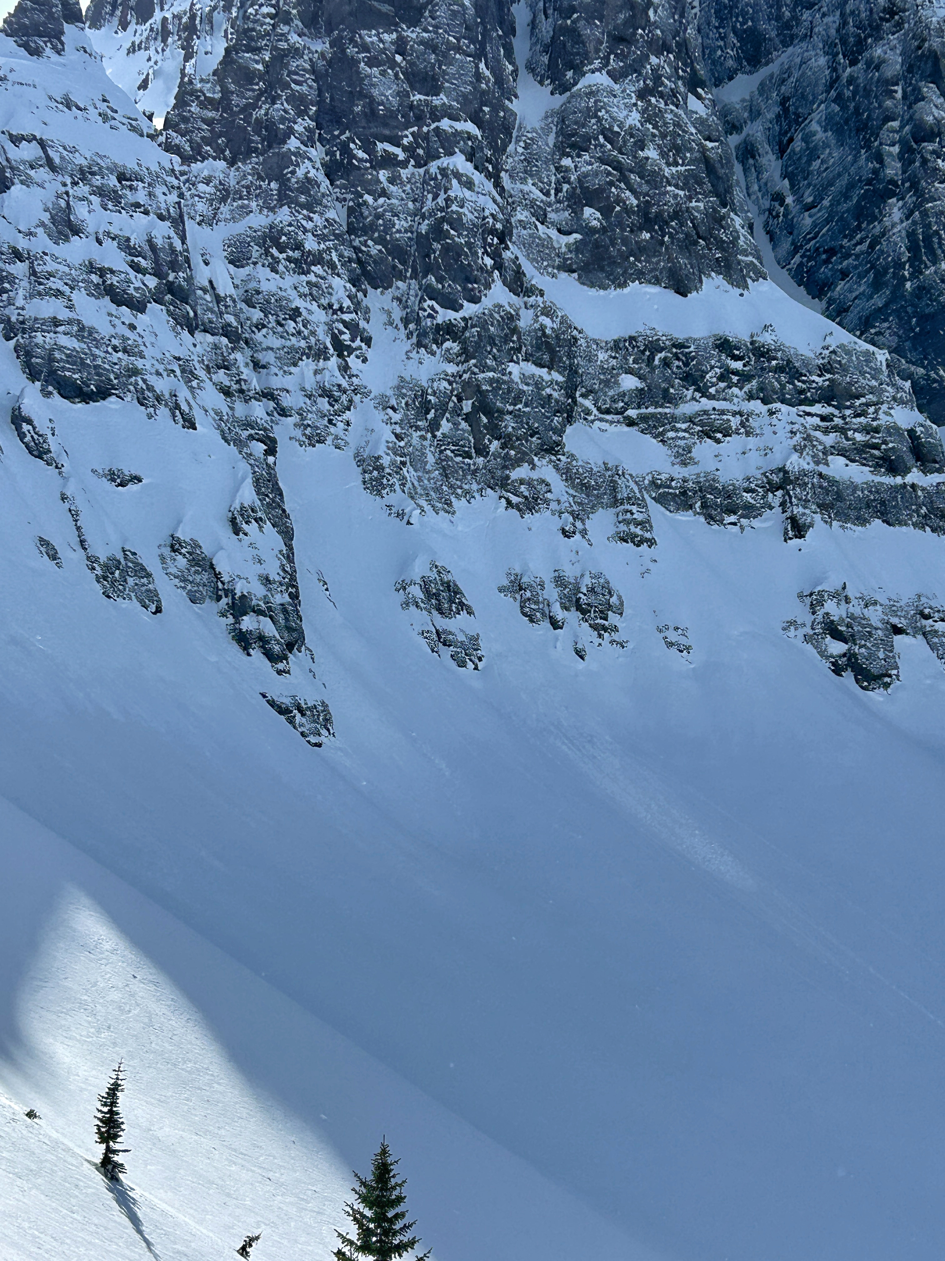
This wet loose avalanche is a great example of where they often occur. Rocks absorb extra heat from the sun and can quickly melt and destabilize the snow. Either move under areas like this early in the morning (as we did), or if you have to travel under them later in the day, move quickly.
Trip Planning for Cooke City Area

Primary Problem: None
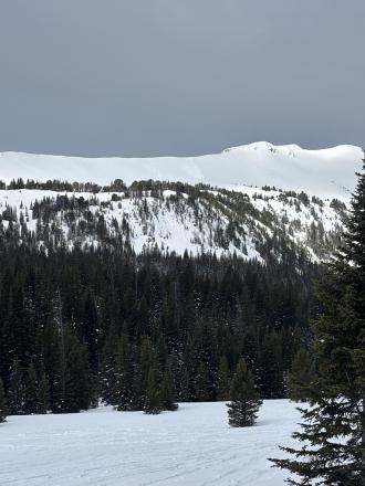
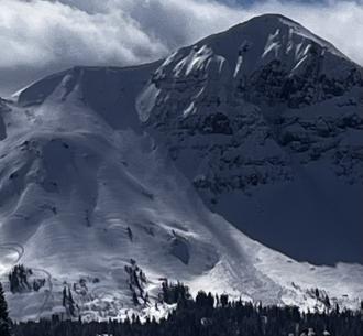
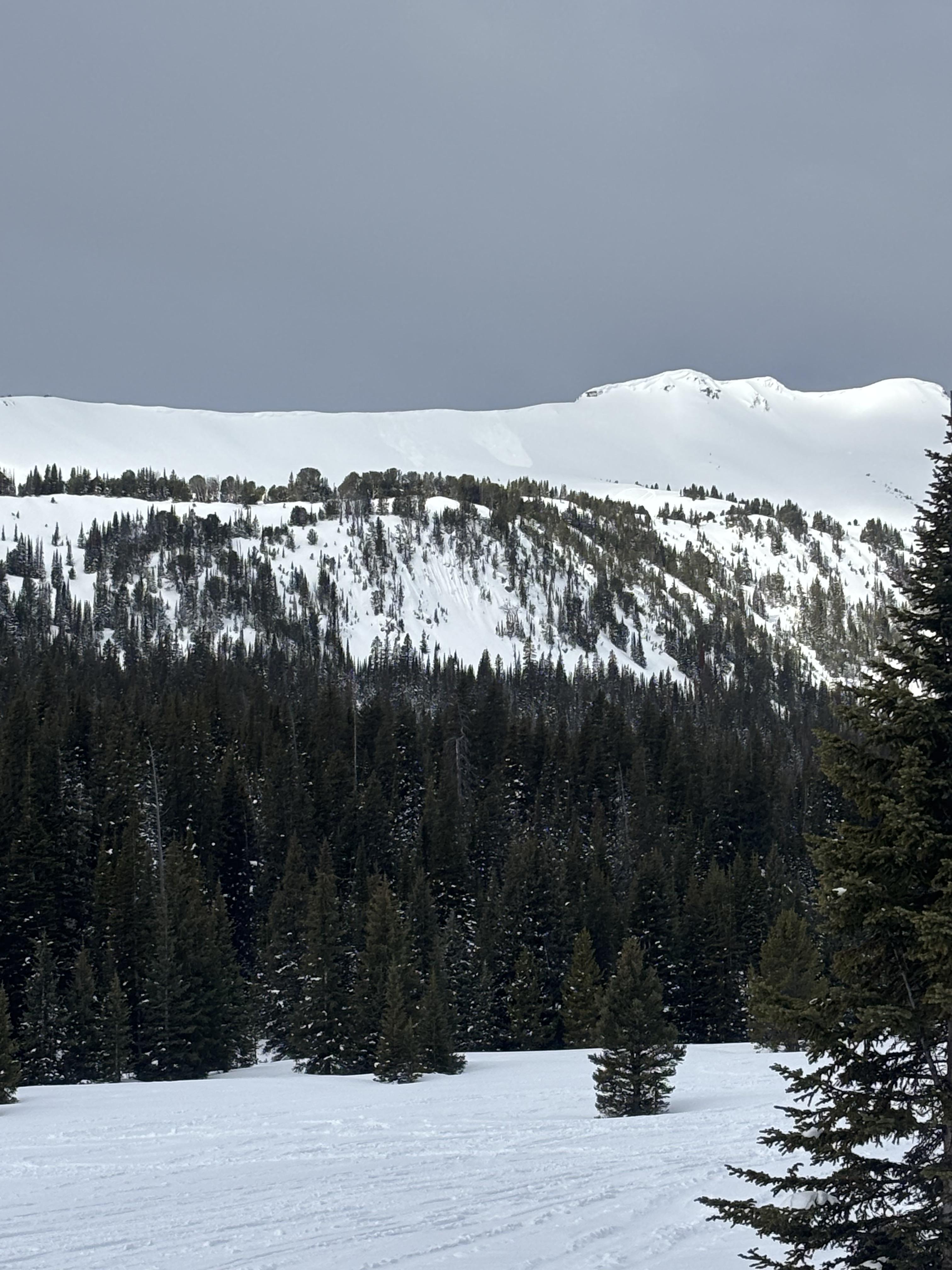
Bottom Line: Spring weather can be highly variable and create a mix of avalanche problems to watch out for. Snow conditions and snow stability can change drastically from day to day or hour to hour. Anticipate rapid change and plan accordingly. Plenty of snowfall over the winter with more spring snow to come makes avalanches possible into summer.Past 5 Days
Mon Apr 21

None
None
Fri Apr 25
None
None
Mon Apr 28
None
None
Fri May 2
None
None
Mon May 5
None
None
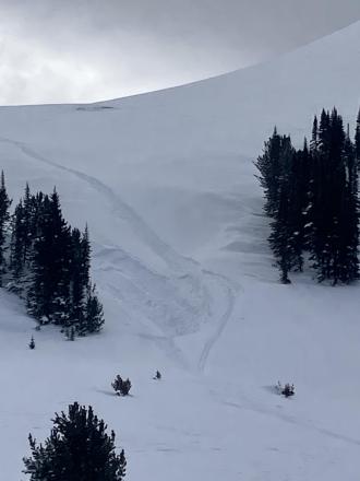
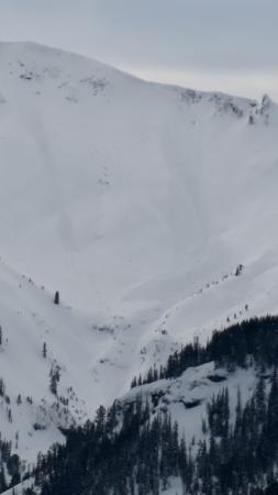
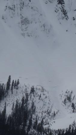
Relevant Photos
Displaying 1 - 40
-

-
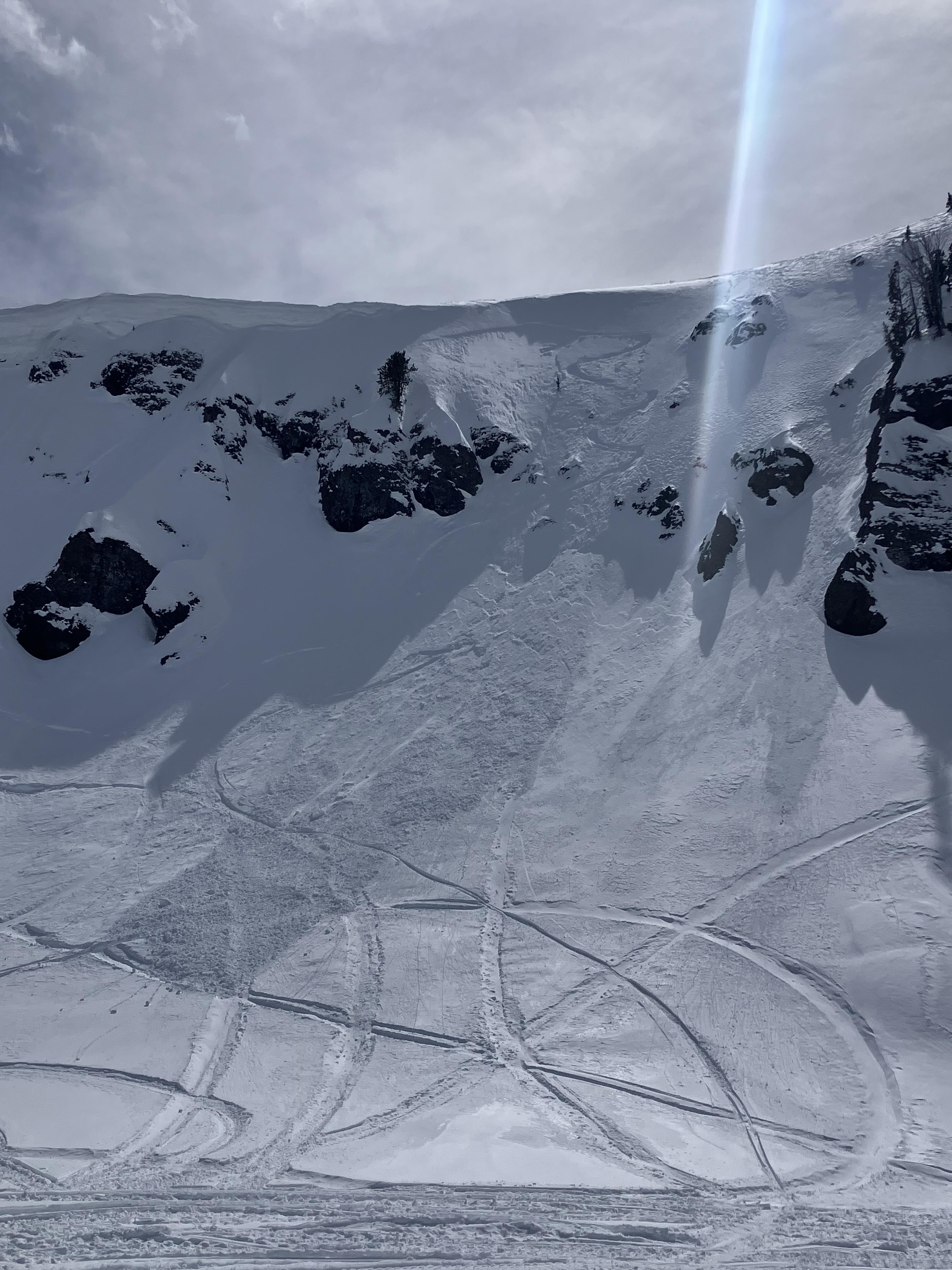
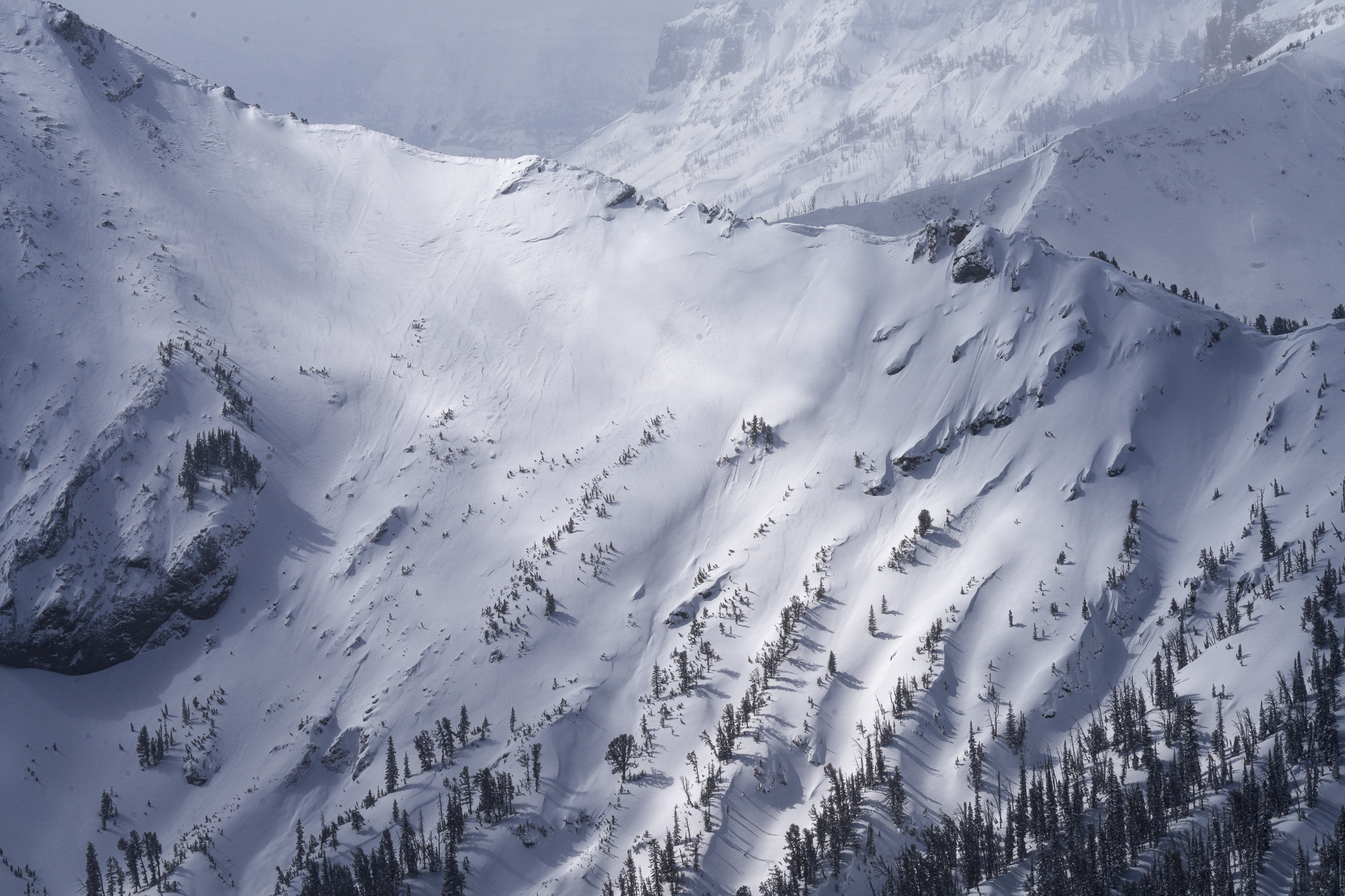
Near Cooke City on 4/19 skiers triggered a dry loose avalanche and a small wind slab avalanche. The wind slab broke in a drifted pocket near the base of cliffs, 3-6" deep x 10' wide. Northeast aspect, 10,200'. Photo: GNFAC
-
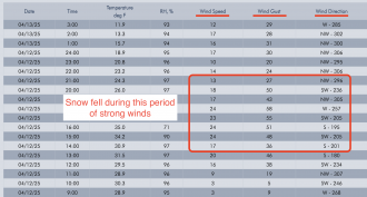
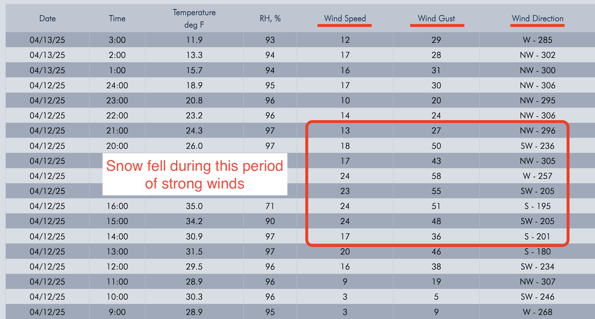
Screenshot of winds from Lulu Pass wind station during the storm.
-

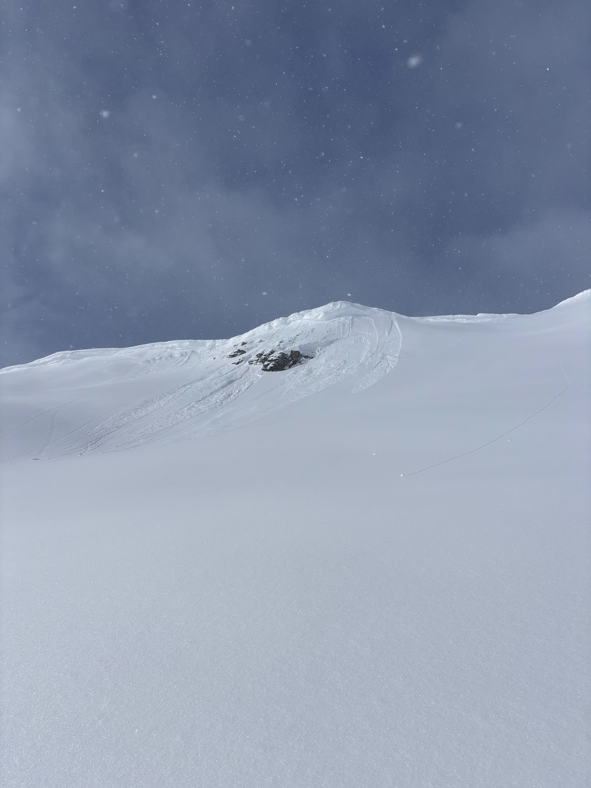
Old wind slab, South East on Scotch Bonnet. Photo: Anonymous
-
Apr 7 A Skier triggered a 6”x20’ wide wind slab on a N aspect at 9,800’.
-
Apr 7 A Skier triggered a 6”x20’ wide wind slab on a N aspect at 9,800’.
-

On Apr 7 Skiers triggered D1-D1.5 wet loose on SE aspect at 10,000’.
-

Apr 5 Wind slabs were still reactive. We triggered 3 small, 3-8" deep x 5-15' wide, hard wind (1F+) slabs on convex test slopes well below the main ridgelines. 9,800', NE aspects. Photo: GNFAC
-

Apr 5 Wind slabs were still reactive. We triggered 3 small, 3-8" deep x 5-15' wide, hard wind (1F+) slabs on convex test slopes well below the main ridgelines. 9,800', NE aspects. Also triggered one softer (4F) wind slab just below the high ridgeline, 10,200', NE aspect. 10-15' wide x 6-8" deep (Pictured). Photo: GNFAC
-
Apr 5 We saw a couple 3-6" deep natural wind slab avalanches and a few dry loose slides that looked to have happened within the last 24 hours. Photo: GNFAC
-
Wind slab near Cooke City from yesterday. Intentionally triggered. North aspect, 10,100'. 1' deep, 20' wide. Photo: B Fredlund
-

Skier took a left turn under cornices to scrub speed and released a 6-10" windslab 40' wide which ran 10' at most. Super soft and easy to ski through. Photo: J Lee
-
From email: "Ski touring near Cooke City today we intentionally triggered a storm slab/ wind slab on a steep north aspect around 9600'. It was about 6" deep, and 30' wide." Photo: B Fredlund
-
Today we noticed these natural small wind slabs on Mt Henderson. Photo: J Mundt
-

Understanding Avalanche Safety Preparedness – 5-Minute Survey for Motorized Users
We need your input! Eastern Oregon University is conducting a survey to better understand avalanche safety preparedness among motorized backcountry users like you. Your feedback will help us learn more about who is purchasing and practicing with avalanche rescue gear (beacon, probe, shovel) and participating in avalanche education—and why some riders aren’t. The survey is confidential and anonymous.
Your feedback is invaluable in improving avalanche education and awareness. Please take a moment to share your experience and help us make a difference.
https://eoustmhs.qualtrics.com/jfe/form/SV_3L8QKAuZzcxJBLo
Thank you for your time and for being a part of this important effort!
-
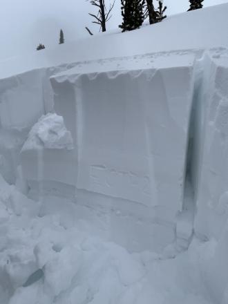
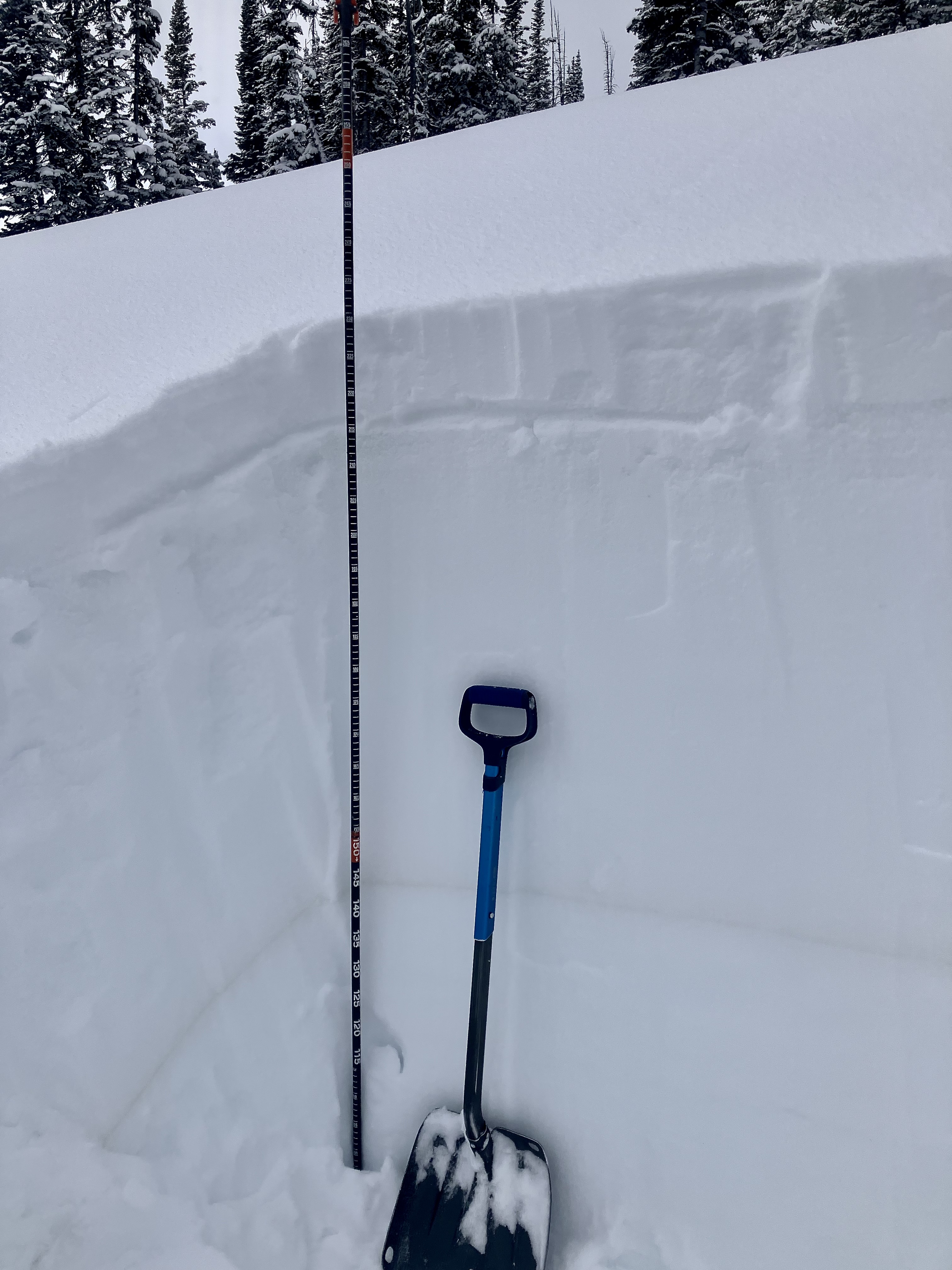
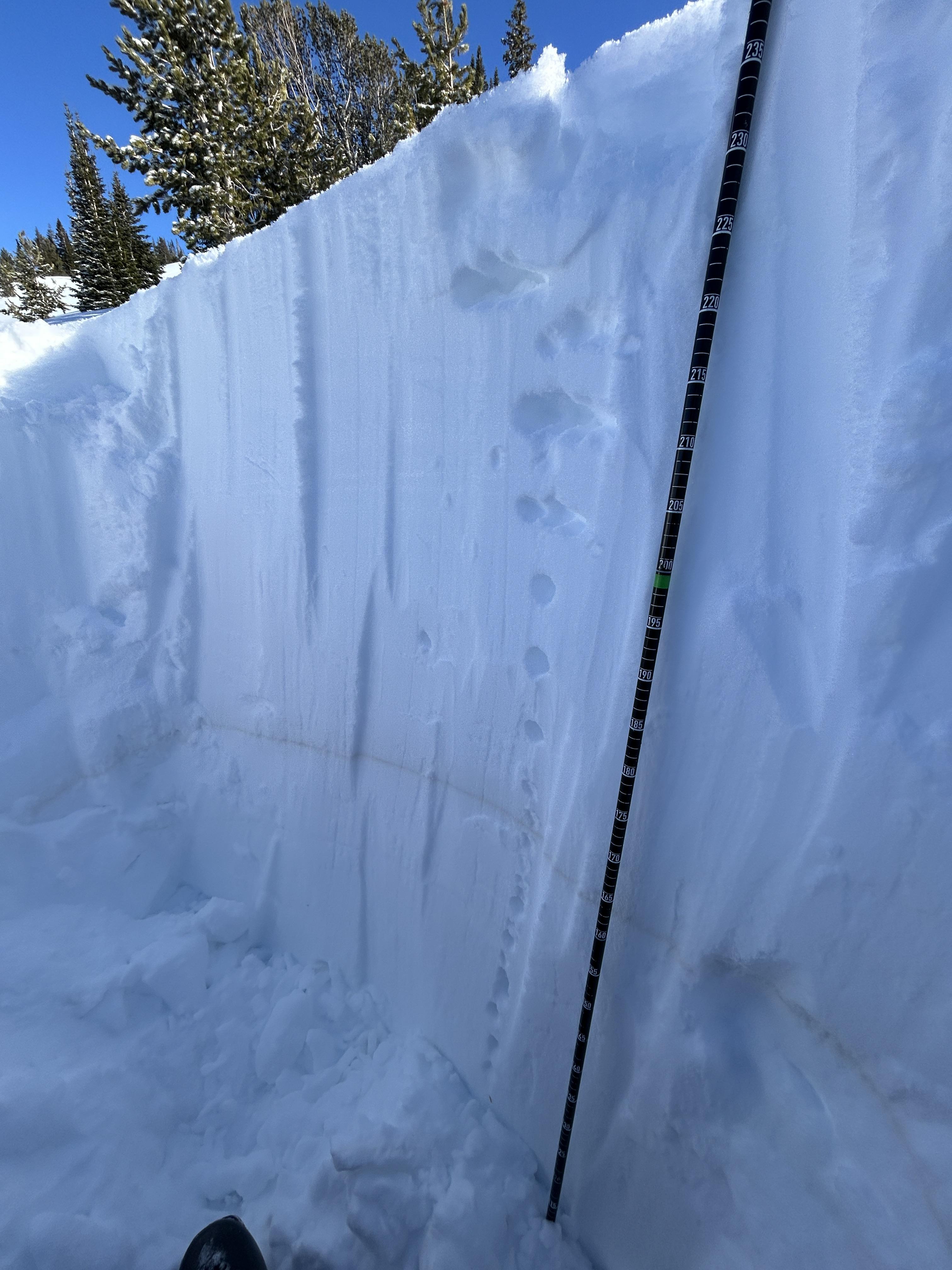
As we rode, we dug a few snowpits looking for the weak layer that we found yesterday buried about 2 feet deep. While we were able to find this layer, we only got propagation in one of three tests (ECTP 26, E aspect, 9070'). Photo: GNFAC
-

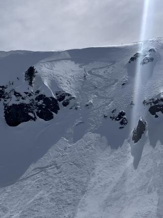
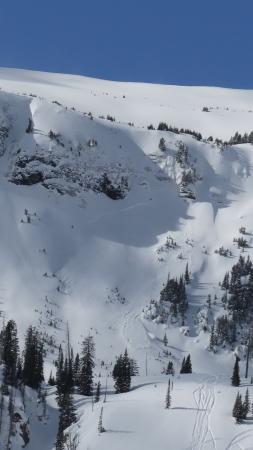
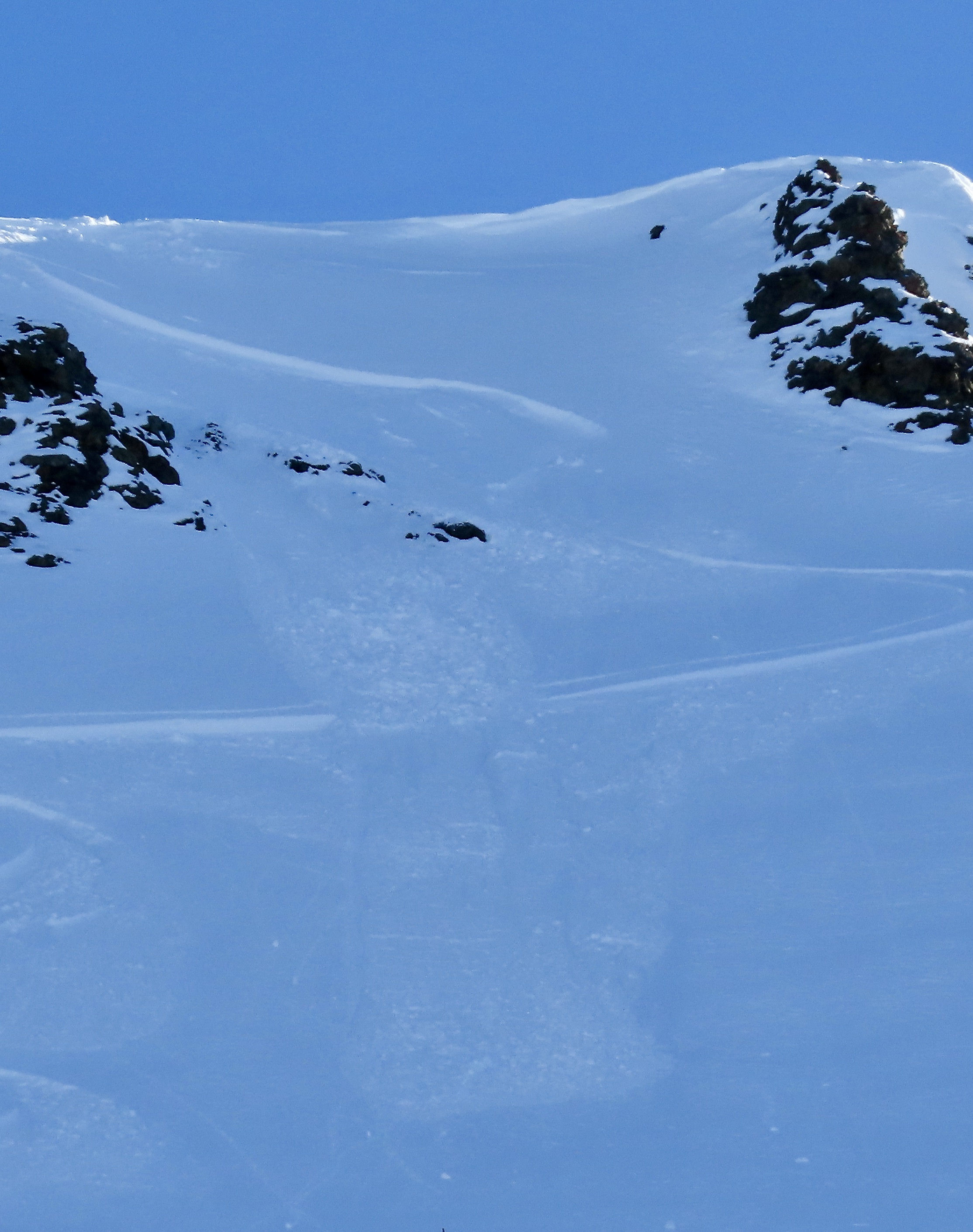
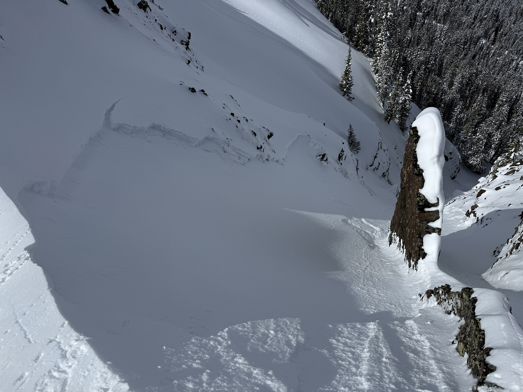
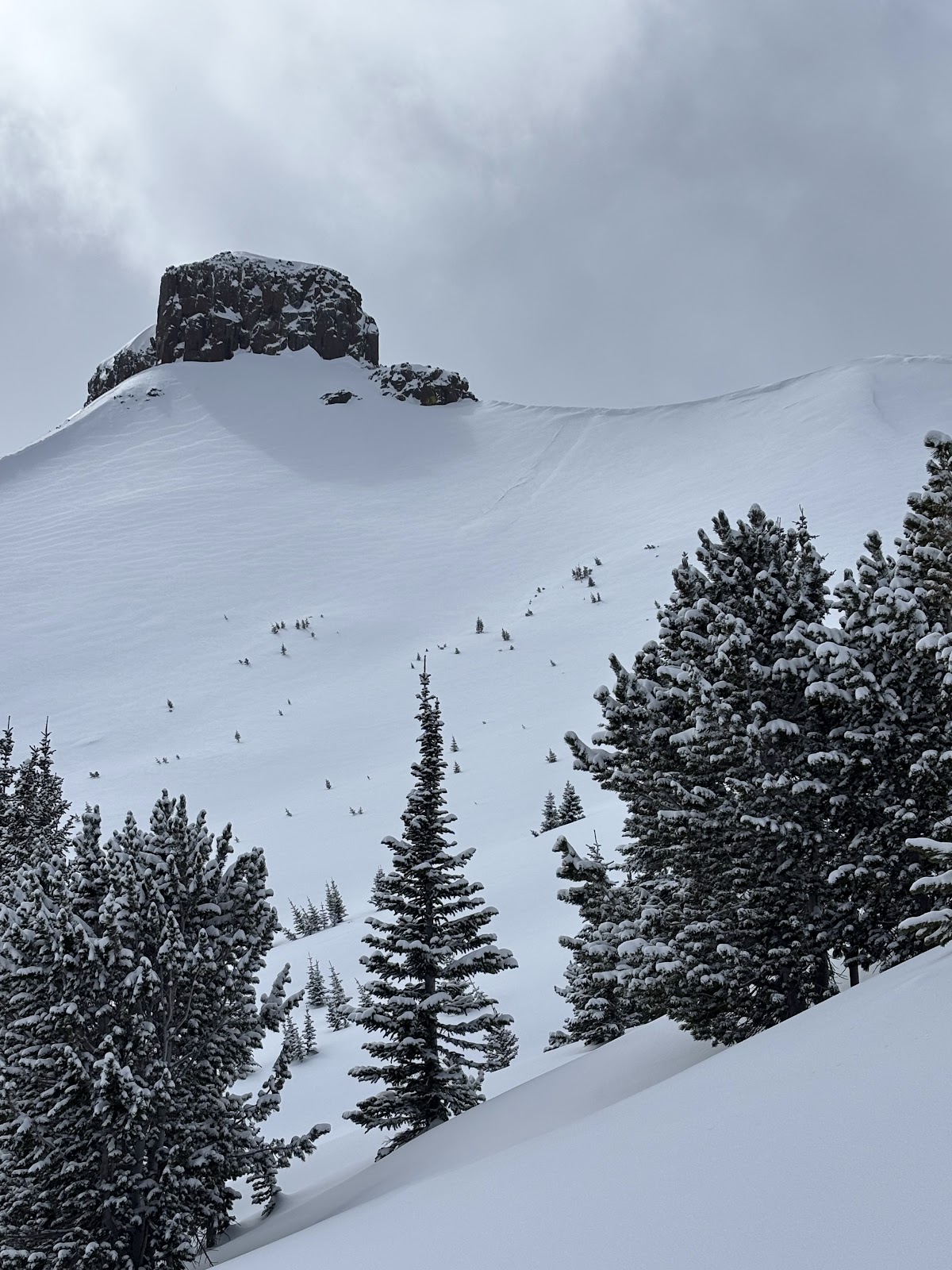
We noted one avalanche on the Fin that likely occurred yesterday or early this morning from a wind slab or cornice fall. Photo: GNFAC
-
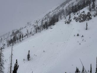
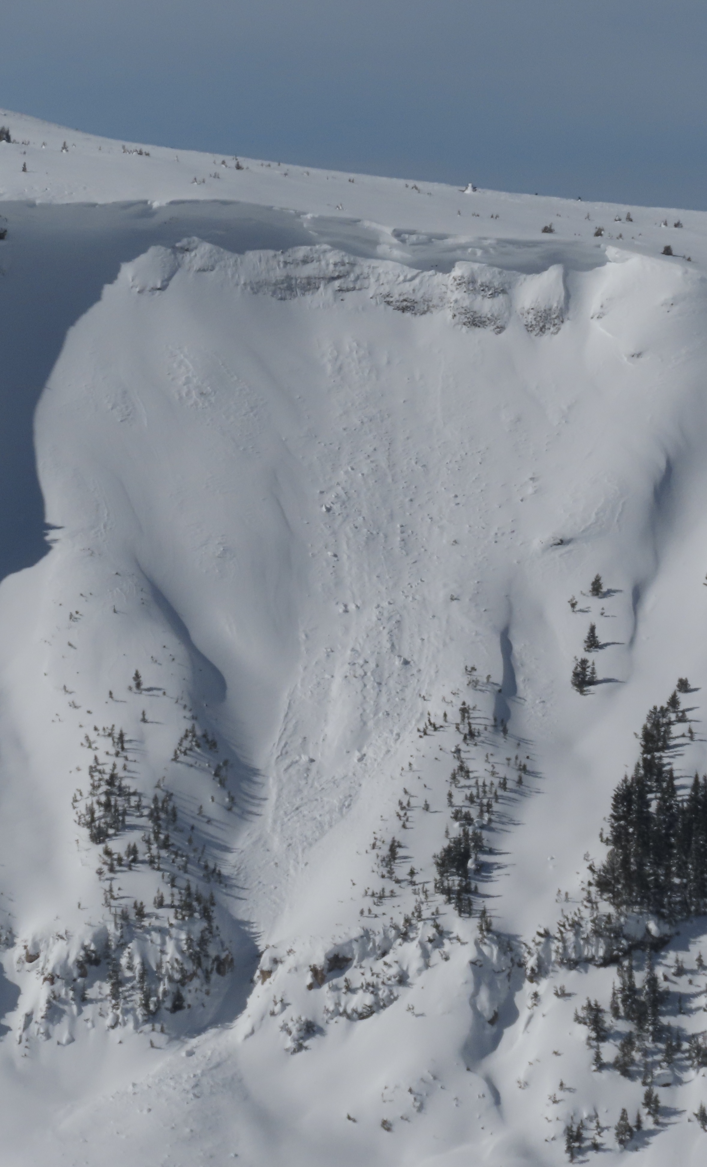
Photo of a recent natural avalanche north of Cooke City, observed today (3/23/25). A S, SE aspect in Sheep Creek at about 9000'. Photo: B Fredlund
-

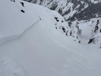
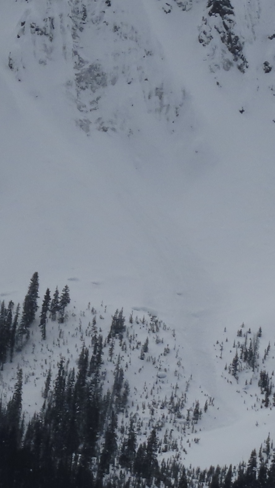
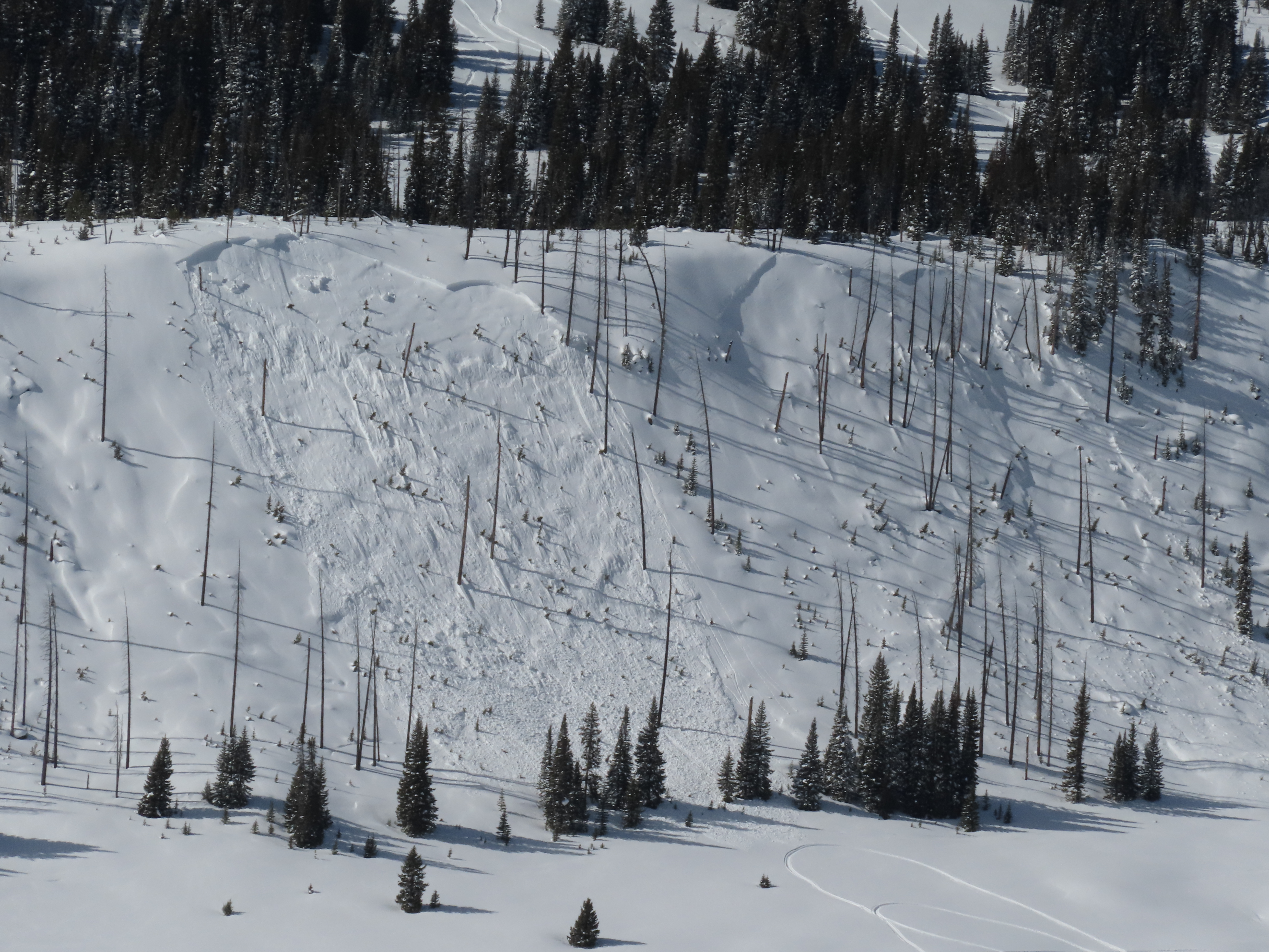
Today we saw a D2 slab avalanche at Goose Lake, E facing, 10800 ft. We estimate this avalanche to have ran in the early hours of 3/17. Photo: BPG
-
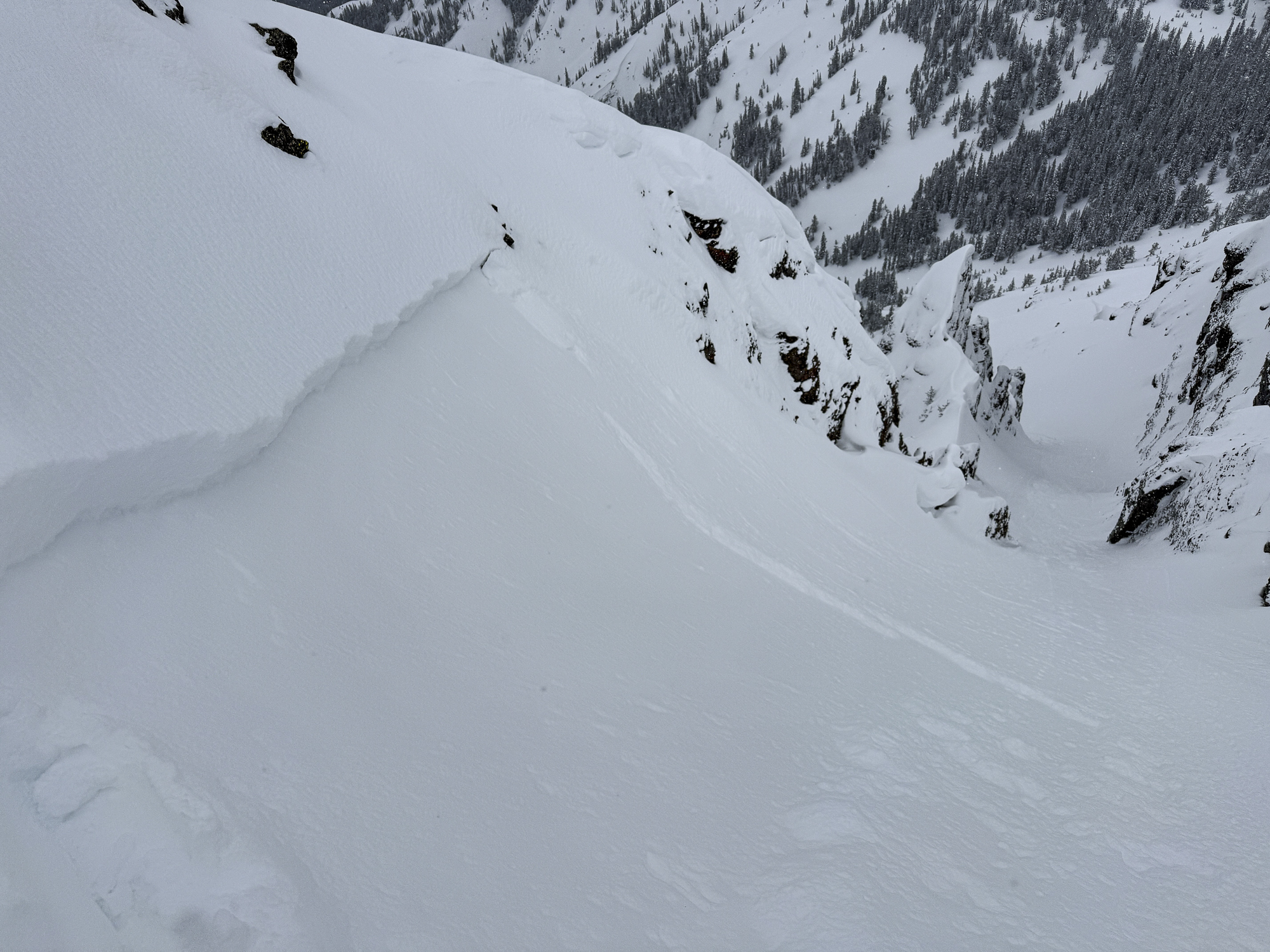
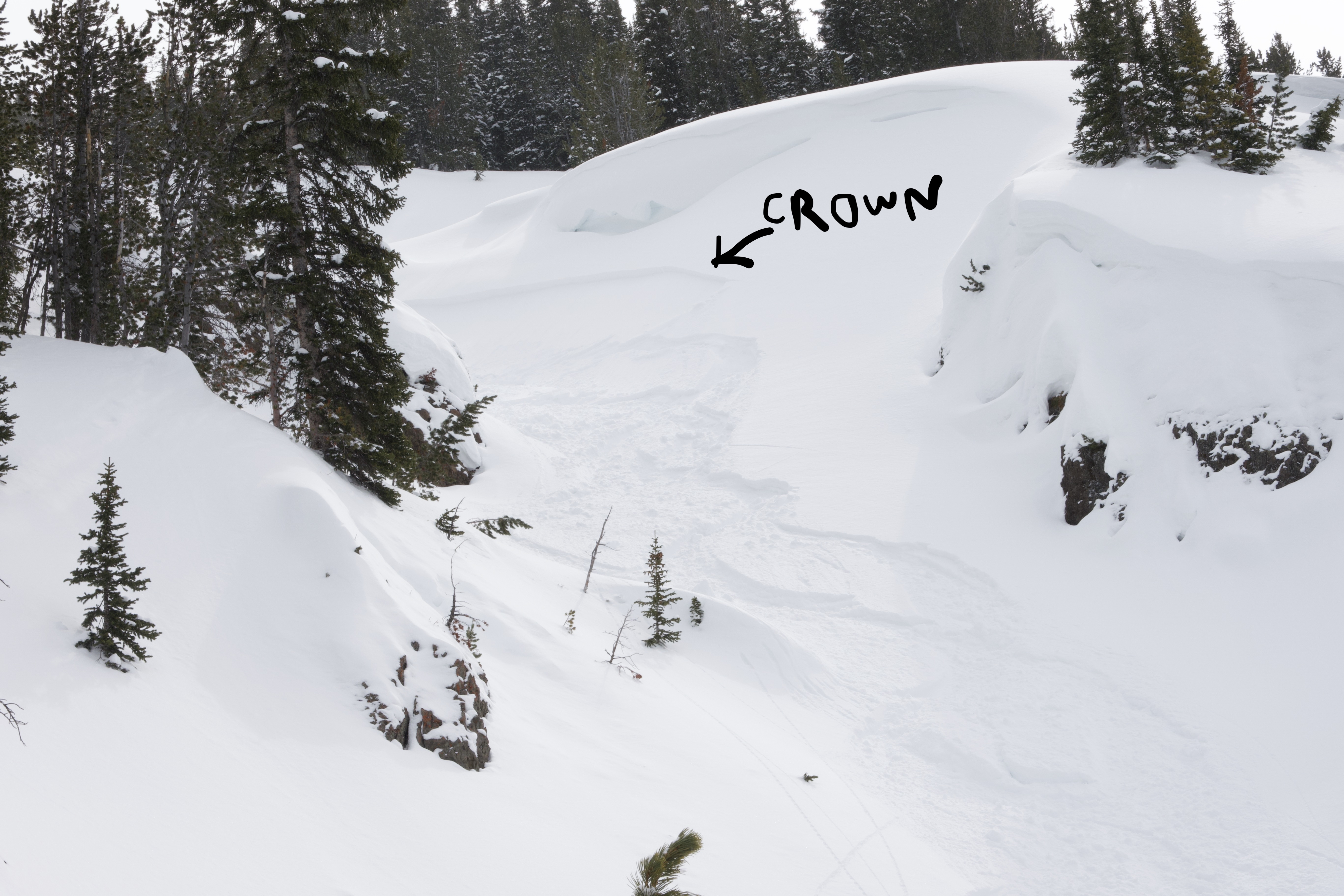
No fresh avalanche activity observed. Attached is a photo of the only sign of a recent avalanche we could find. (an old crown on an East aspect at 9600'). Photo: B Fredlund
-
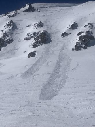
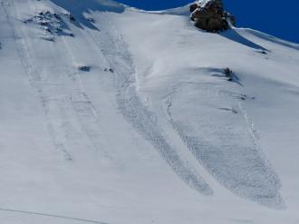
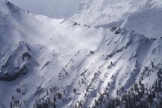
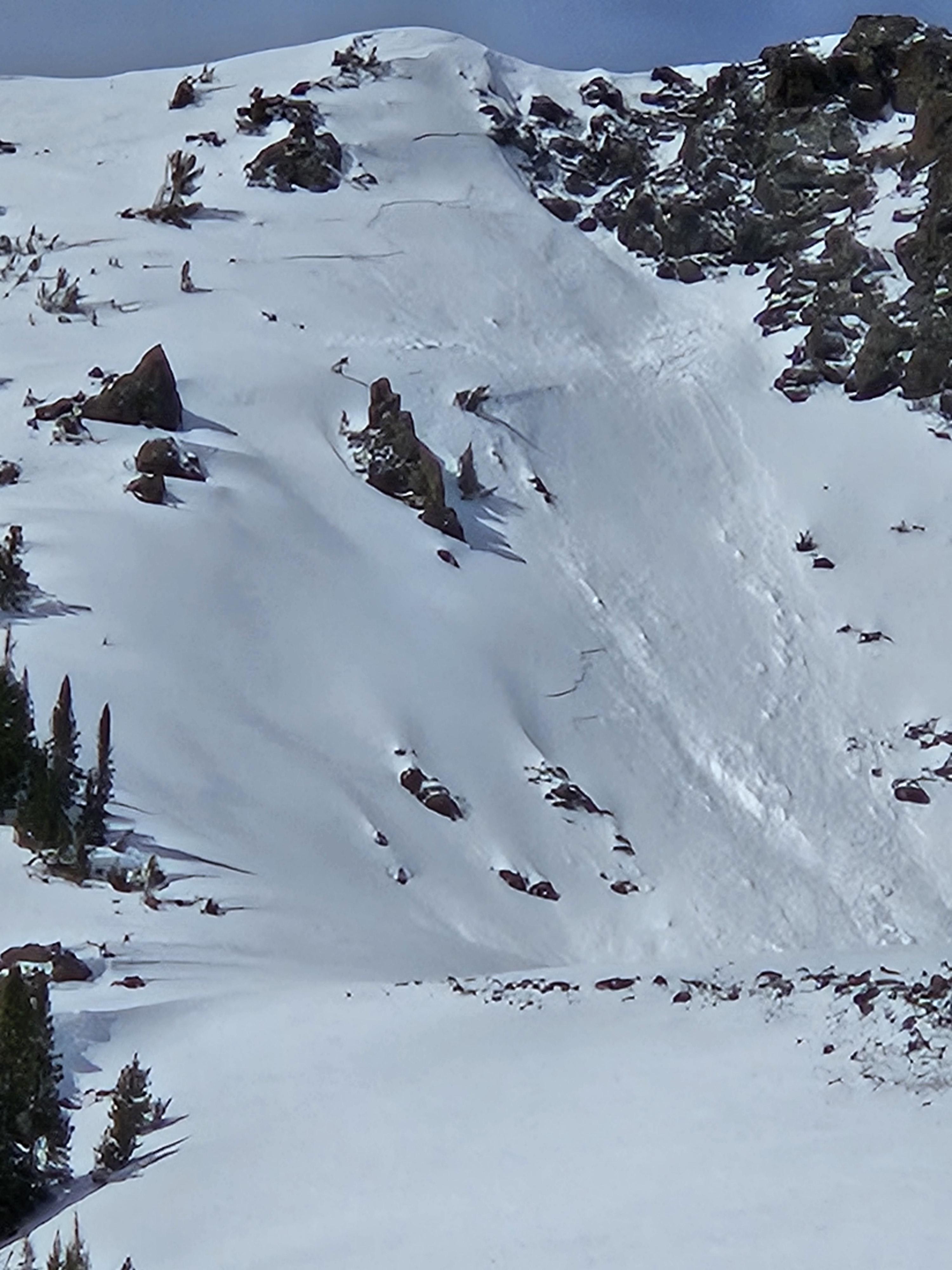
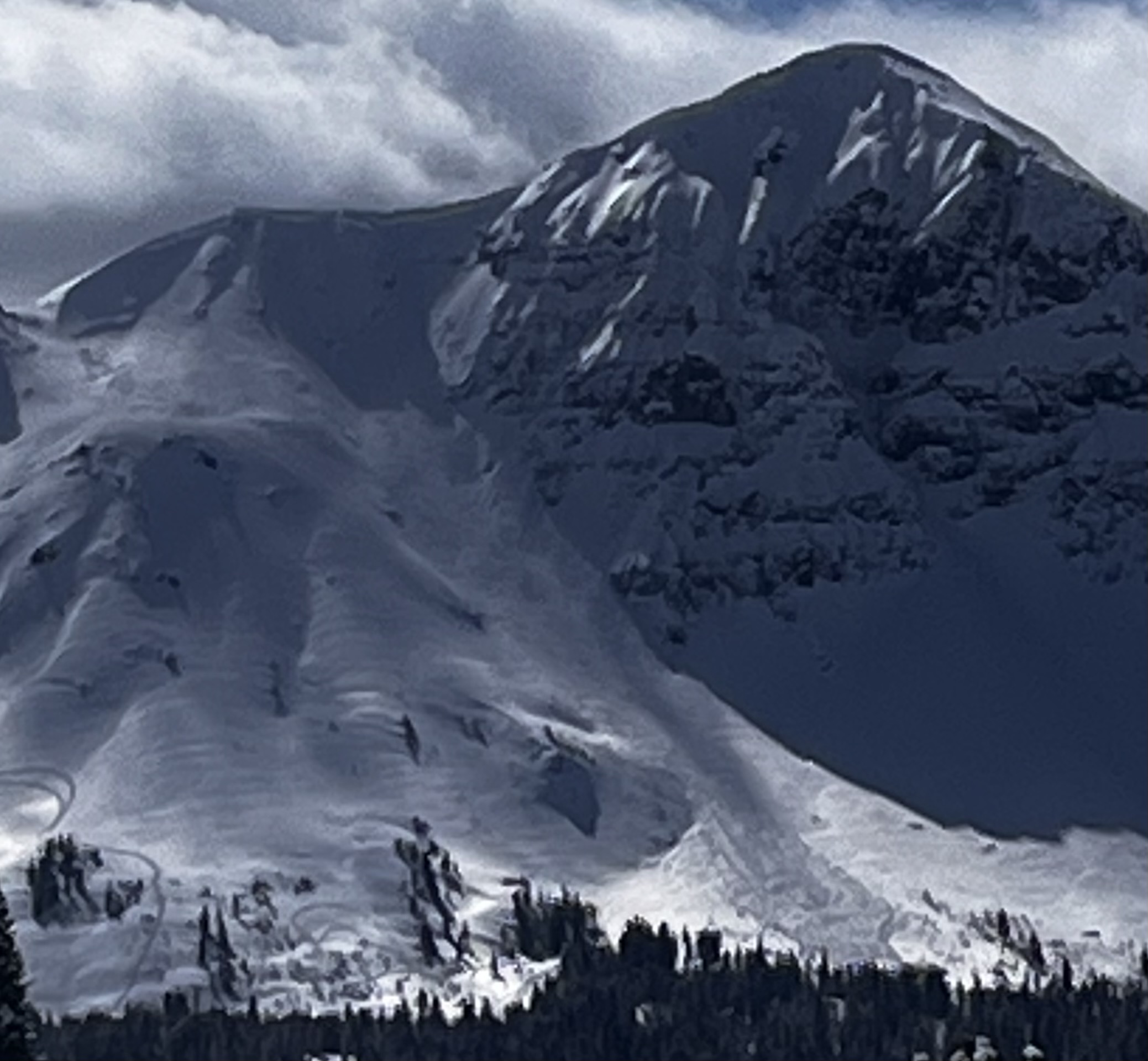
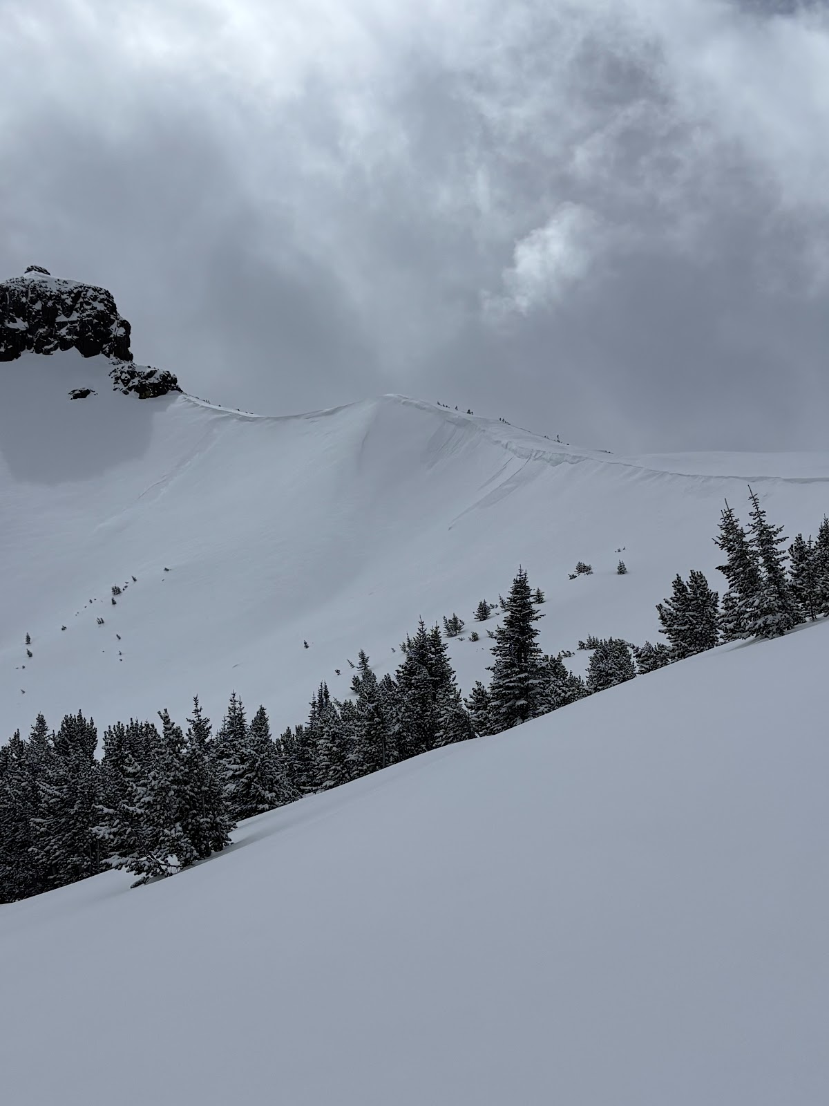
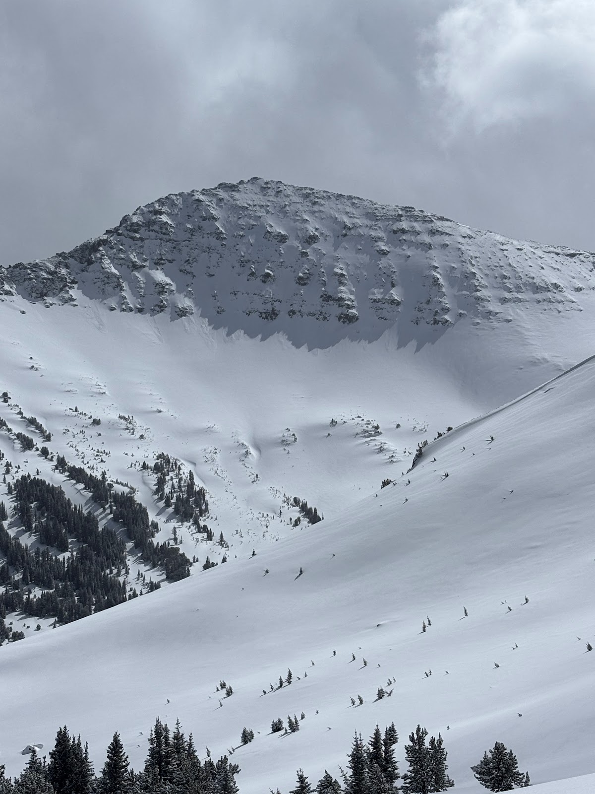
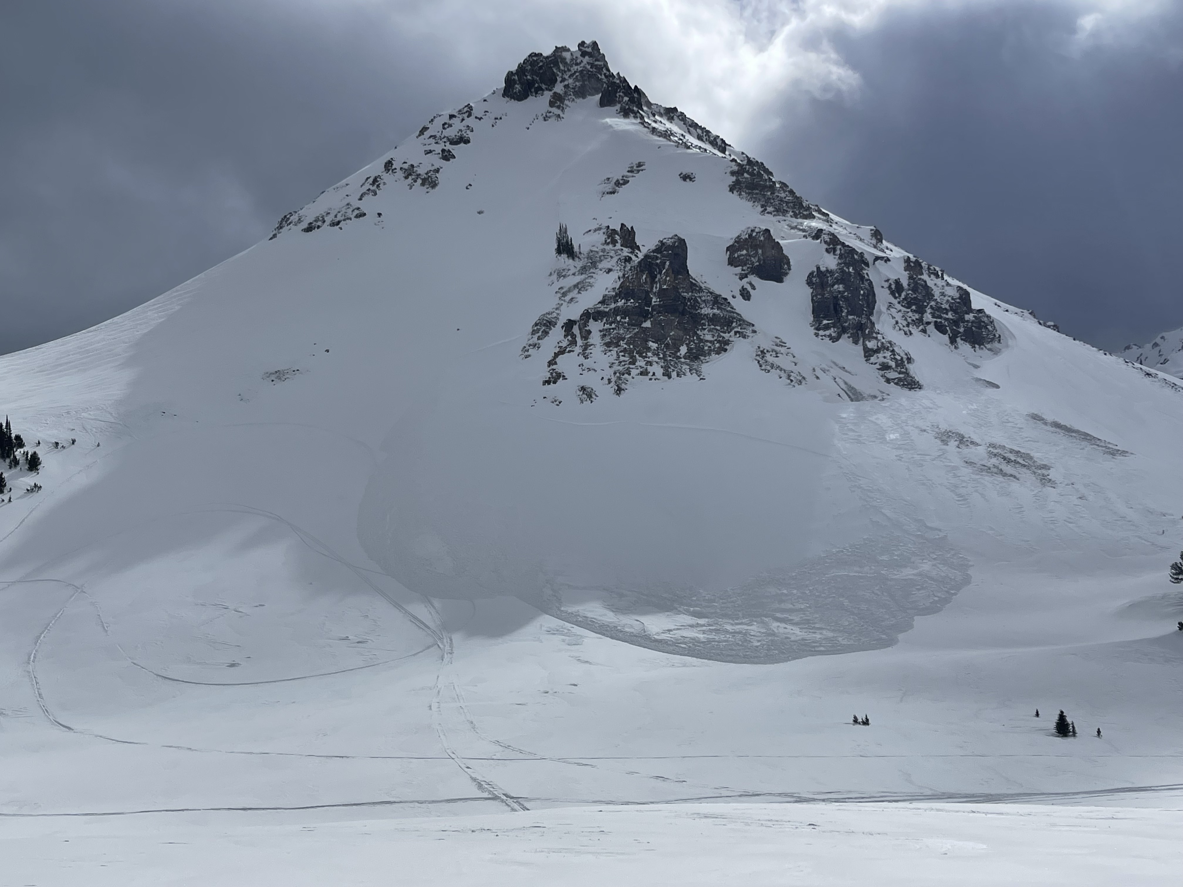
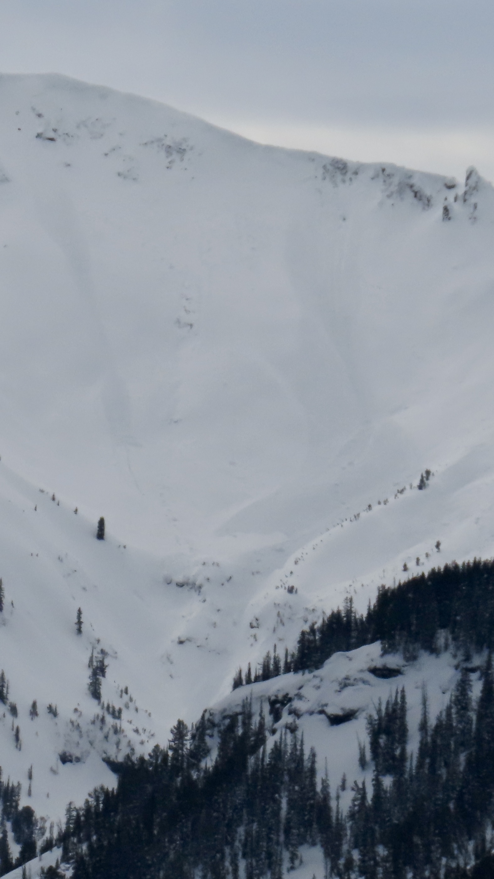
Avalanche on the SE face of Scotch Bonnet in Tragenic Bowl and one on the NE face of Wolverine. They both broke 2-4’ deep. The avalanche on Wolverine slide aprx 1500’. Both were in wind loaded areas at upper elevations. Photo: BPG
-
"Today I triggered a D1 dry loose avalanche on a E facing 35 degree slope, 9300 ft on Mt Henderson. The new snow is very low density and is not bonding well to the old interface. I also observed some more dry loose activity/small wind slabs on Sheep Mt, NE facing, 10400 ft."
-
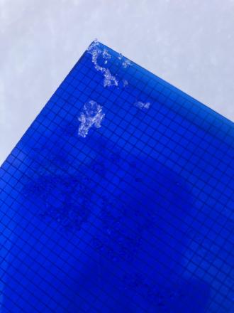
Near Cooke City on Mar 14 there was 6" of new snow and wind was calm, even along the ridge near regularly wind-loaded slopes, and there was no snow blowing off ridgelines. The photo shows a slope that normally receives a lot of wind effect, but the new snow is unaffected indicating the wind has been calm. Photo: GNFAC
-
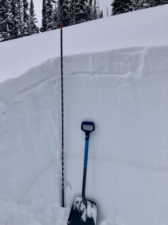
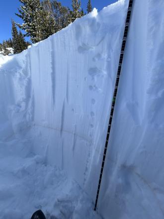
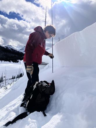
Dug a pit on a northeast facing slope, 9300' (profile and pic attached) near Cooke City. Snow depth was 7-8 feet. 6" of new snow was right side up. Below the new snow was a soft (1F-) melt-freeze crust with soft decomposing and slightly faceted particles below. ECTN13 broke below the crust. Below that the snowpack was 1F to P+ hard and lacked weak layers. The Feb 4 dirt layer was clearly visible. Photo: GNFAC
-
Today I observed multiple small wind slab avalanches off Woody Ridge. NE and E facing, 10000 ft. Max size D1. Photo: BPG
-
Today I observed multiple small wind slab avalanches off Woody Ridge. NE and E facing, 10000 ft. Max size D1. Photo: BPG
-
Many dry loose slides on Cooke Peak in Hayden Creek. Photo: BPG
-

We also witnessed a falling cornice today that washed some snow through rocks. Be aware of what's above you.
-
Above Goose Creek -hard, dense, strong, and deep snow. Facets from late January are 1F+ hardness
-

Fresh wind slab avalanche seen this afternoon, possibly rider triggered. Photo: N. Meyers
-
On Feb 24 we saw at least 3 rider triggered wind slabs, 4-5 natural wind slab avalanches, and a couple large cornice falls. Strong wid had affected almost every piece of terrain, scouring some slopes, loading others, just stiffening the slab in many areas, and forming fresh drifts on every convex roll and along the edges of trails. Riding was still soft and fairly consistent in many areas. Photo GNFAC
-
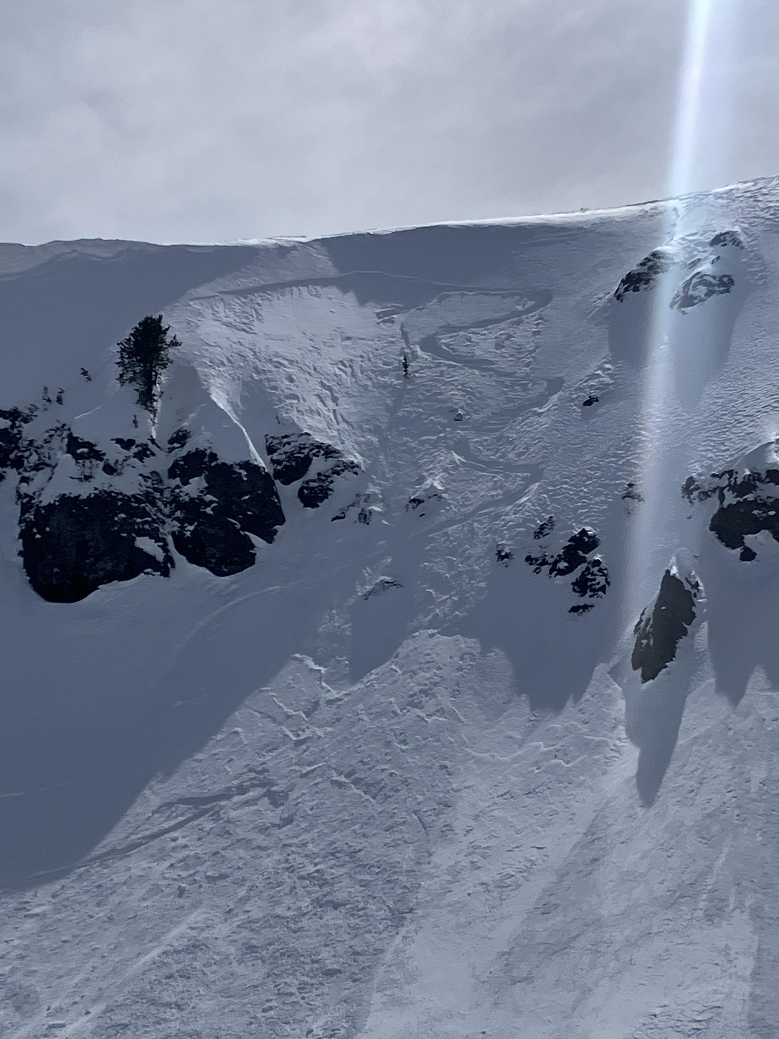
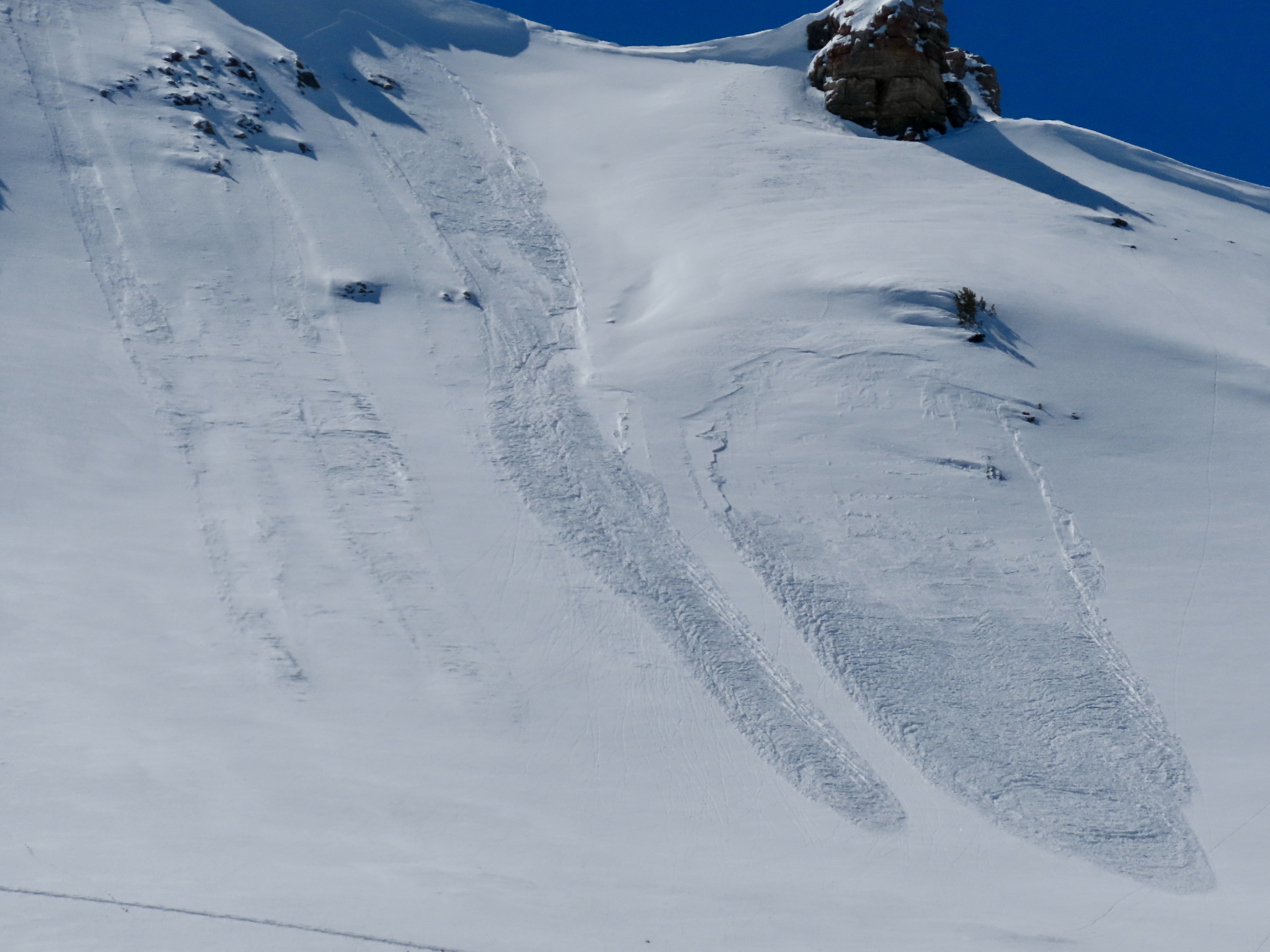
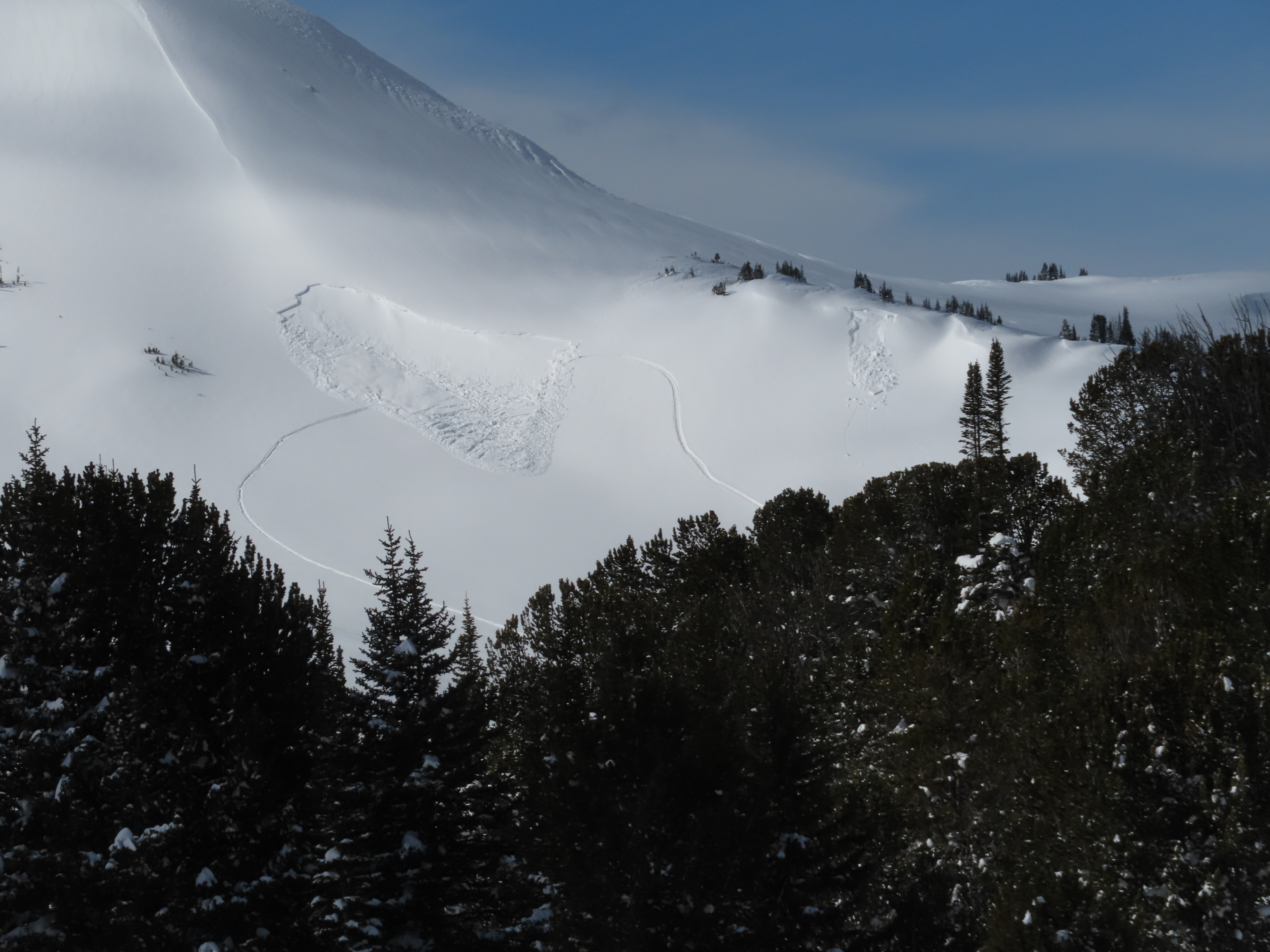
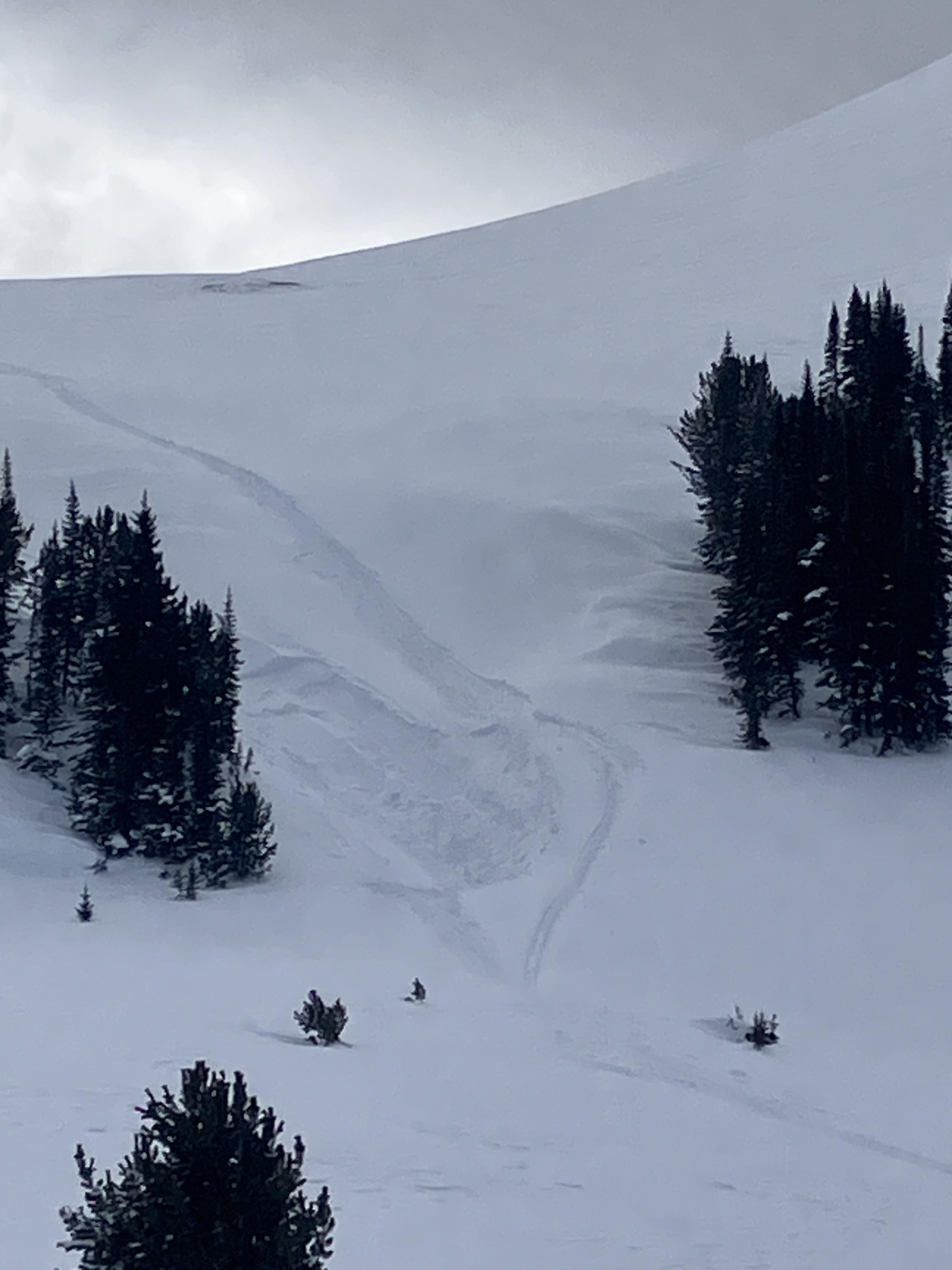
While looking for a recent avalanche from the flat bench above we triggered a similar sized slide directly adjacent to the previous slide. They broke on weak layers of facets and surface hoar that formed at the end of January. 2-3 feet deep and 150-200' wide. Photo: GNFAC
-
While looking for a recent avalanche from the flat bench above we triggered a similar sized slide directly adjacent to the previous slide. They broke on weak layers of facets and surface hoar that formed at the end of January. 2-3 feet deep and 150-200' wide. Observing the snowpack that caused the avalanche. Photo: GNFAC
-

While looking for a recent avalanche from the flat bench above we triggered a similar sized slide directly adjacent to the previous slide. They broke on weak layers of facets and surface hoar that formed at the end of January. 2-3 feet deep and 150-200' wide. Photo: GNFAC
-
While looking for a recent avalanche from the flat bench above we triggered a similar sized slide directly adjacent to the previous slide. They broke on weak layers of facets and surface hoar that formed at the end of January. 2-3 feet deep and 150-200' wide. Photo: GNFAC


Videos- Cooke City Area
WebCams
Soda Butte Lodge, looking West
Soda Butte Lodge, looking East
Weather Stations- Cooke City Area
Weather Forecast Cooke City Area
Extended Forecast for2 Miles NNE Cooke City MT
Overnight

Low: 45 °F
Clear
Sunday

High: 75 °F
Sunny
Sunday Night
Low: 47 °F
Slight Chance
T-storms then
Partly CloudyMonday
High: 74 °F
Sunny then
Chance
T-stormsMonday Night
Low: 44 °F
Showers
Likely then
Chance
ShowersTuesday
High: 60 °F
Chance
Showers then
T-stormsTuesday Night
Low: 38 °F
Showers
Likely then
Chance
ShowersWednesday
High: 61 °F
Chance
Showers then
Chance
T-stormsWednesday Night
Low: 38 °F
Slight Chance
T-storms then
Mostly Clear
The Last Word
We ended our 35th winter in operation after 141 forecasts and ZERO avalanche fatalities, the second winter in a row with no avalanche deaths. The last time this happened was 1988 and 1989. It’s been an incredible season.
Thank you for all your support! Our success is directly related to support from our community and the Forest Service. Thanks to the readers of the forecast, everyone that sent in observations, took an avalanche class, or donated money, time or gear. Have a safe spring and summer!