This is Ian Hoyer with the avalanche forecast for Friday, February 14th, at 7:00 a.m. sponsored by Idaho State Snowmobile Association - Avalanche Fund and Gallatin County Sheriff Search and Rescue. This forecast does not apply to operating ski areas.
This morning, there are:
2-3” of new snow around Island Park, West Yellowstone, and Cooke City
0-1” around Bozeman and Big Sky
Winds are 15-25 mph out of the south and west, with 30-40 mph gusts. Temperatures are in the teens and 20s F (20+ degrees F warmer than yesterday morning!).
Snowfall today and tonight will bring 3-6” more new snow by tomorrow morning. Winds will remain moderate out of the south and west. High temperatures will be in the 20s F.

Wind slab avalanches are the primary concern today. There are a couple inches of new snow already, with a few more on the way today and winds strong enough to drift that new snow. Thin fresh drifts will be easily triggered today. Triggering older, somewhat thicker wind slabs that formed with high winds over the last couple days is also a possibility.
Persistent Slab avalanches are still possible, breaking a couple feet deep on weak layers that formed at the end of January, as evidenced by a small slide triggered yesterday in the Lionhead area (photo), an avalanche near Cooke City triggered by a cornice within the last 36 hours that looks have broken on deeper weak layers (photo) and a couple slides in the Taylor Fork that likely broke last weekend (Taylor Fork video). These slides are more likely to be triggered on windloaded slopes, with thicker and more cohesive slabs.
Identifying and avoiding windloaded slopes is the best strategy to reduce your chances of triggering any sort of avalanche today.
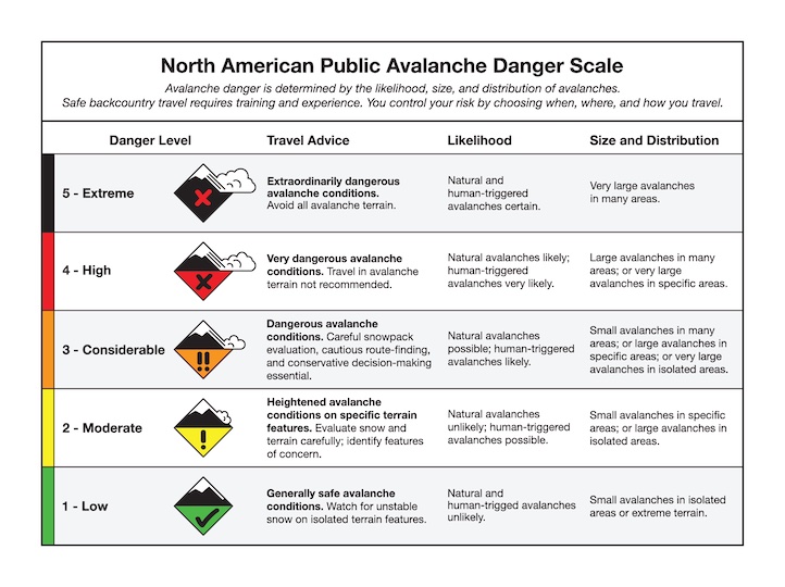
The avalanche danger is MODERATE.
Wind slab avalanches are also the primary avalanche problem around Bozeman and Big Sky. It hasn’t snowed much yet and not too much will pile up today, but even without new snow yesterday, we got reports of active wind loading and several small slides (main fork of Hyalite observation, Mt. Blackmore observation).
Identifying areas of wind deposited snow and either avoiding them or assessing how well they’ve bonded is the primary risk management recommendation today. Persistent weak layers are less widespread in these areas compared with further south, but keeping your eye out for them (by digging a snowpit) is still not a bad idea
The avalanche danger is MODERATE today on wind loaded slopes and LOW on non-wind loaded slopes.
Upcoming Avalanche Education and Events
Our education calendar is full of awareness lectures and field courses. Check it out: Events and Education Calendar
February 18, 3-4 p.m. Whumpfs and anticracks: the science and mechanics of snow slab avalanches. A free advanced snow science presentation by a visiting professor from Germany at Montana State University in Roberts Hall, Room 101.
February 20, 4-7 p.m. Beacon BBQ at Uphill Pursuits in Bozeman. Come try out different brands of avalanche transceivers (or practice with your own!) with coaching from Friends of GNFAC instructors and free hotdogs.
February 28 - March 2, Bozeman Splitfest 2025 - Celebrate all things Bozeman backcountry and raise funds for GNFAC. Enjoy demos, clinics, free food and beer from MAP. Connect with fellow outdoor enthusiasts and soak up the winter stoke.
Every weekend in Cooke City: Friday at The Antlers at 7 p.m., Free Avalanche Awareness and Current Conditions talk, and Saturday from 10 a.m.-2 p.m. at Round Lake Warming Hut, Free Rescue Practice.