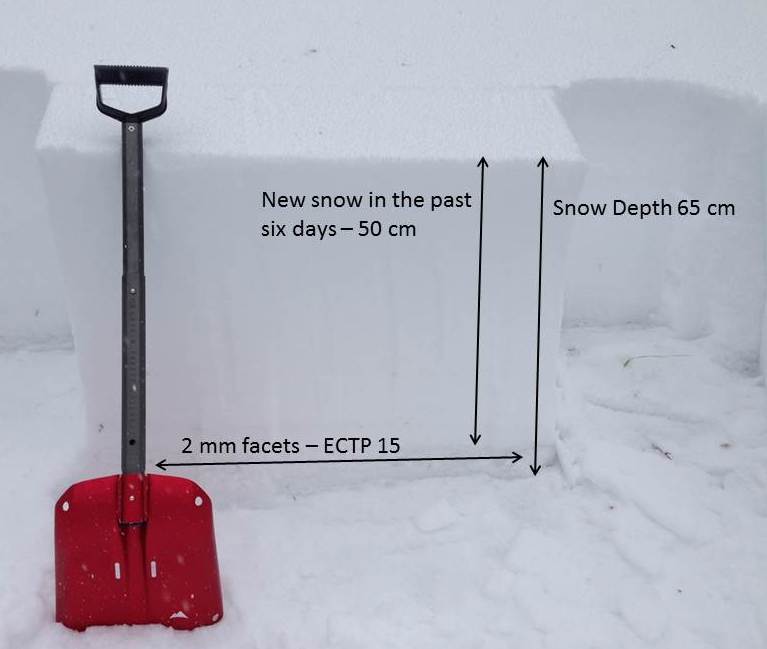
This pit was dug on a NE facing slope at 8,000 ft. north of Bridger Bowl. Facets near the ground continue to propagate in stability tests indicating an unstable structure. Photo GNFAC
Forecast link: GNFAC Avalanche Forecast for Sun Nov 30, 2014

This pit was dug on a NE facing slope at 8,000 ft. north of Bridger Bowl. Facets near the ground continue to propagate in stability tests indicating an unstable structure. Photo GNFAC