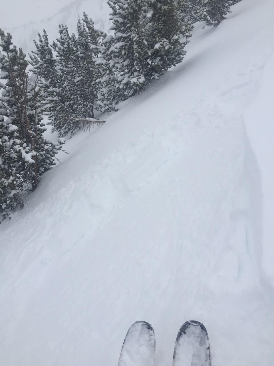
Snowfall throughout the afternoon fluctuated between S1 - S5 (during brief squalls). The winds started out moderate and from the west but calmed by the last lap ~5 pm. The new snow (from last night/this morning) was fairly well bonded to the sun/melt-freeze crust below, but the storm came in subtly upside down. Today’s snowfall (accumulating ~3” while skiing between 1-530) was light. Right along the ridgeline, we triggered 4 predictable small storm slabs 4~6” deep on the upside-down storm snow from last night/this morning, but surprisingly not on the old crust. They were each 5-10m wide x 5m long and only ran ~5m vertically. Photo: Z Miller
Location
Mt Blackmore
Avalanche Details: Human Triggered Soft Slab Avalanches - Mt Blackmore
Forecast link: GNFAC Avalanche Forecast for Thu Mar 26, 2020
Northern Gallatin, 2020-03-25
Forecast link: GNFAC Avalanche Forecast for Thu Mar 26, 2020